This site is located on flat land with good views in all directions. There is a river located to the north of this site, this river runs into the river Boyne. Franciscan Friary founded 1325 (Gwynn and Hadcock 1988, 255) and marked on the OS 6-inch map as a 'Monastery (in Ruins) which is situated just SE of the possible motte (
OF011-010001-) and consisting of a pile of collapsed masonry with portions of walls standing at N and NE. This monastic complex was said to have been founded by John De Bermingham in 1325 for the Franciscan friars, the church (OF011-009----) located in the graveyard may be the remains of the Friary. The remains of the Franciscan friary of Monasteroris, also known as Castro Petre de Mortoto and Totmoy (Tuath muighe). The record of its founding describes how the minister provincial and Friars Minor in Ireland accepted De Bermingham's invitation to build a chapel and dwellings in his town of 'Totemoy' in the diocese of Kildare (Cal. papal letters, 1305-42, 245; Fitzpatrick and O'Brien 1988, 107-8). It is possible that the remains that are indicated on the 6-inch map as a 'Monastery' were mistakenly identified and may be associated with a castle possibly the Castro Petre (Peter's Castle) that was named after the De Bermingham's who established an Anglo-Norman manor here in the thirteenth century. Later in the fourteenth century the De Bermingham's invited the Franciscan Friars to their land and the church (OF011-009----) to the S of the castle may be the remains of their Friary. The present remains of the castle appear to consist of low grass covered walls forming a possible bawn are and the upstanding remains of two buildings one of which seems to be a gatehouse of a castle. The earthworks comprise of grass covered walls which form various buildings and what appears to be the enclosing wall around the N section of the site. These walls have an average wall thickness of 4m. This perimeter wall runs in an E- W direction for a distance of 62m, there is a gap in the W end of this ridge which is 1m wide, this may have been an entrance feature. Coming off the E end of this ridge at a right angle in a Southerly direction is another wall which is approx. 40m in length and on avg. has an int. height of 0.5m and an ext. height of 1m. Attached to the W side of this wall there is what appears to be the foundations of a rectangular shaped building with internal dimensions of 4.2m by 20m and ext. dimensions of 22m by 8m. Its enclosing walls survive to a height of 0.5m. There is a gap on the W end of the building which measures 2m wide. Approx. 5m to the W of this building there are the remains of a square building with internal dimensions of 4m by 7.5m. Again on the W side of this building there is a gap which measures 1.8m wide this may be an original entrance feature. To the S of the earthworks are the remains of two buildings which are in a ruinous state. Their condition makes it difficult to interpret their function. The most Southerly building appears to be a gatehouse with a moat running around the E side of the site. The walls of this rectangular gatehouse are extant to the first floor level only and are constructed of undressed stones of varying size held together with mortar. The internal dimensions of this gatehouse are 7.6m by 5m. Originally it is possible that the gatehouse and the range of buildings to the N of the gatehouse may have been part of an Anglo-Norman manor and may have then been converted into a monastic complex associated with the Franciscan Friars and later converted into a fortified stronghold of the O'Conors. The gatehouse may have been one of the two castles mentioned in the 1550 Survey of Monasteroris. This survey recorded that there were two castles at Monasteroris, 'one newlie builded and thother all runyose', in addition to the ruined walls of the friary 'burnyd and rasid' and a mill and orchard (Curtis 1929, 326, Fitzpatrick and O'Brien 1998, 108-9). West wall of the gatehouse: This wall is extant to first floor level only, most of its quoin have been robbed except on the Southern end of the wall where they are apparent from 2m above ground level. The base batter stones have also been robbed except on the Southern side where they exist to ground level. The only feature on this wall is a large opening which measures 1.9m wide and approx. 3m high. This gap has been blocked up from ground level for a height of 1.6m. there are no dressed stones apparent on the exterior of the wall. The interior face of this window shows that the window is recessed into the wall for a distance of approx. 0.5m while the arch of the window is the full thickness of the wall which is 2m. South wall of the gatehouse: This wall is covered in ivy and the eastern side is badly destroyed. The quoin stones have been robbed on both sides to a height of approx. 4m from ground level. There is evidence of a slight base batter on this wall. There is an entrance feature located off centre to the East on this wall, the base of this entrance has been filled up for a height of 1m. The gateway entrance comprises of a pointed archway which is set 0.82m in from the face of the wall, there are two nib holes located on the Western side under the arch. Just inside the entrance on the East wall there is a small bar slot which measures 0.21m by 0.28m by 0.25m deep. There is a corresponding bar slot on the opposite side which measures 3m long. A drawbridge across the moat in front of the gatehouse gave access to the complex of buildings behind this moat. This millrace runs up to the Old Mill to the E of the castle complex. East wall of the gatehouse: This wall is in a very poor condition and is covered in grass and is partially destroyed. However built into the thickness of this wall was a garderobe shute which 1m by 1.4m, this chute ran up through the thickness of the wall. Adjoined to this Eastern wall is a small rectangular chamber which measures 2m by 4m internally with the thickness of the wall being approx 2m.
 Church (in ruins)Religious house, Franciscan friars · 183 yd
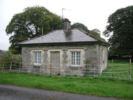 MonasterorisGate lodge · 279 yd
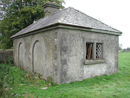 Monasteroris HouseGate lodge · 301 yd
 Standing stone in MonasterorisStanding stone · 429 yd
 Earthwork in KinnafadEarthwork · 762 yd
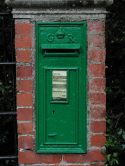 post box980 yd
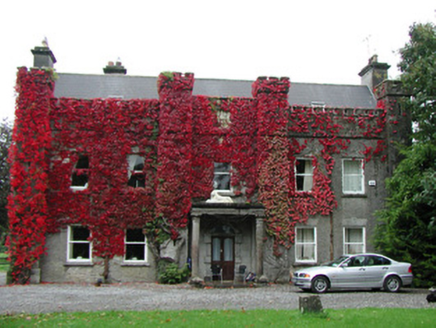 Jonestown HouseCountry house · 1015 yd
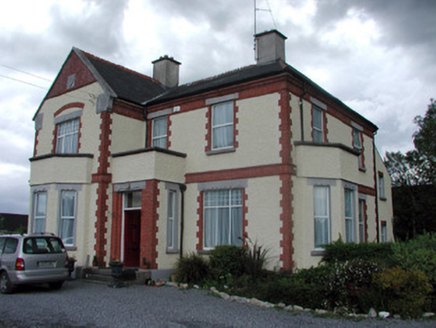 The Old RectoryRectory/glebe/vicarage/curate's house · 1146 yd
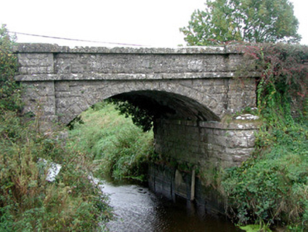 Kinnafad BridgeBridge · 1.0 mi
 Cartland BridgeBridge · 1.0 mi
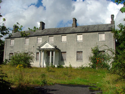 Edenderry Cottage HospitalHospital/infirmary · 1.1 mi
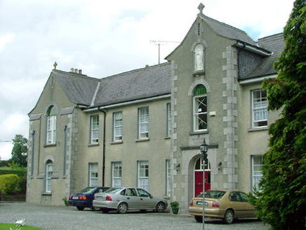 Saint Mary's ConventConvent/nunnery · 1.1 mi

What do you know about this place?Tap to add a comment or ask a question