
What is recorded here
On both sides of a road, c. 1km NW of the village of Firies. The heavily overgrown ruins of this mill appear to be to the W of the road. The remains consist of random rubble limestone walls. On the E side of the road are the poorly preserved remains of other associated buildings. Traces of a millrace, consisting of two low earthen banks, are also evident. According to Bary (1994, 183), mills were built here in the late 16th-century by the Browne Family of Molahiffe House (KE048-107----). Lewis (1837, 377) mentions 'a small flour-mill and a tuck-mill' at Firies. (Castleisland District Archaeological Survey)
Compiled by: Elizabeth Byrne, Ursula Egan and Sheila Ronan, Archaeological Survey Unit, University College, Cork.
Date of upload: 31 January 2011
The monument record does not grant public access. Check the route and ask the landowner before entering private land.
- What survives
- Recorded monument
Places near here
 Enclosure in KillahaneEnclosure · 433 yd
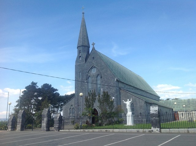 Saint Gertrude's Catholic Churchchurch/chapel · 577 yd
 Bushmount Ho.House, 17th century · 738 yd
 Enclosure in BohereensEnclosure · 750 yd
 CastleCastle, ringwork · 872 yd
 Site of CourtCastle, unclassified · 1076 yd
 Ballygamboon Forest Recreation AreaWood · 4.2 mi
 The Kerry Creamery ExperienceHeritage attraction · 5.4 mi
 Scotia's GraveArchaeological place · 6.1 mi
 Aghadoe Early Medieval Ecclesiastical SiteHeritage attraction · 7.0 mi
 Japanese pagoda treeJapanese pagoda tree · 8.1 mi
 Famine MemorialMemorial · 8.2 mi
Other information
Photo: Credit not shown in the picture search · Rights wording not checked; contact us if this picture should be removed