What is recorded here
Moss and marble rubble bury a tall stone tower and its long defensive banks on a hidden Kerry cliff. The earthwork still holds its shape beneath the green rot, waiting for someone strong enough to clear the slopes and reveal the room where human life once turned.
On the sides of a large elevated limestone outcrop with views restricted by a copse of deciduous trees. Occasional traces of the remains of a linear bank (Wth c. 1.5m; H 0.5m) with considerable stone inclusions are evident outside the N (L c. 25m) and W (L c. 40m) sides of a possible tower house (KE048-035001-). The earthwork is obscured by large quantities of moss-covered rubble, which is strewn down the slopes.
Compiled by: Elizabeth Byrne, Ursula Egan and Sheila Ronan, Archaeological Survey Unit, University College, Cork.
Date of upload: 31 January 2011
This monument is subject to a preservation order made under the National Monuments Acts 1930 to 2014 (PO no. 41/1976).
The monument record does not grant public access. Check the route and ask the landowner before entering private land.
- What survives
- Recorded monument
Places near here
 Site of CourtCastle, unclassified · 13 yd
 Molahiffe Church (in rRuins)Church · 223 yd
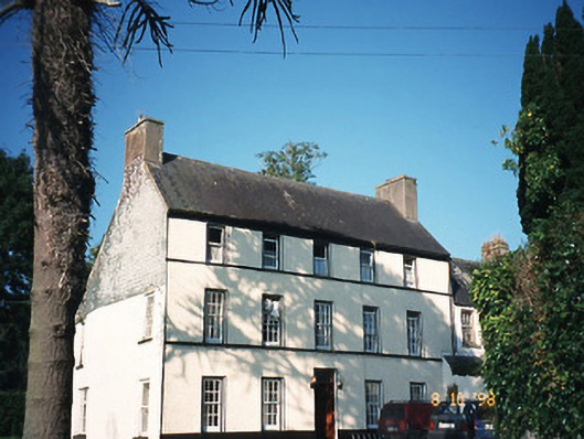 Castlefarmhouse · 311 yd
 CastleCastle, ringwork · 338 yd
 Partially indicatedEcclesiastical enclosure · 642 yd
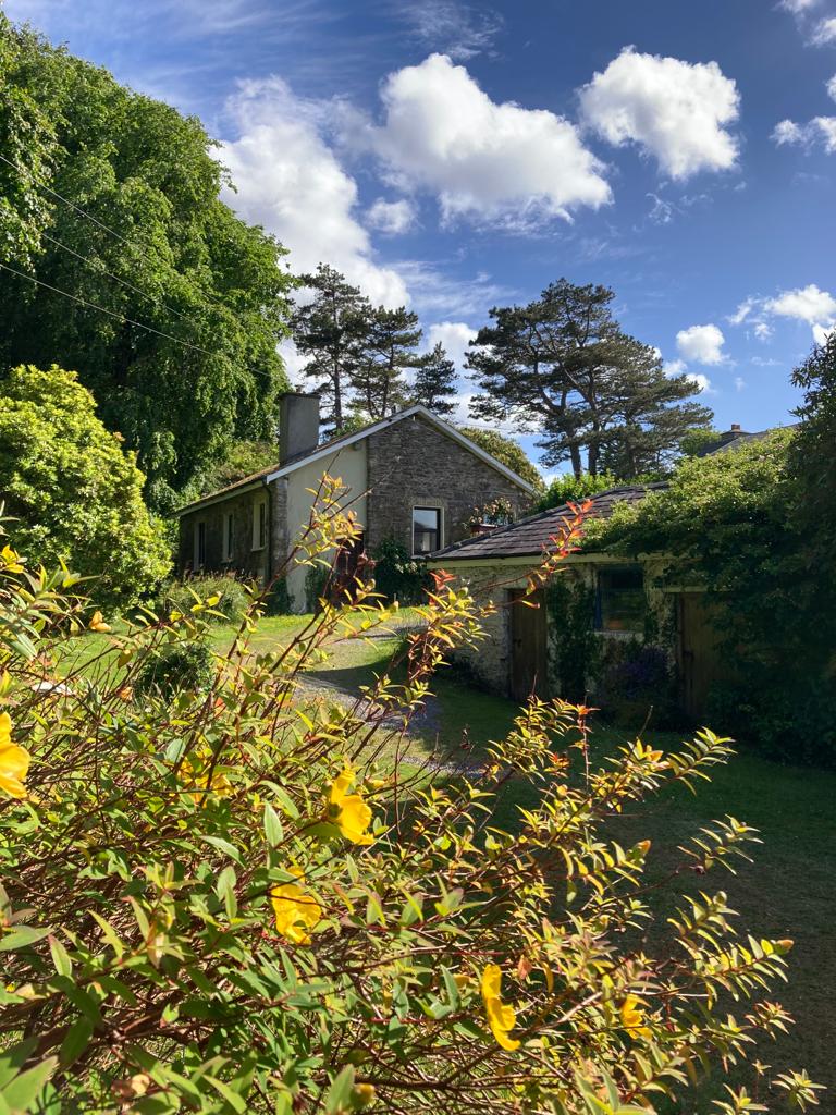 Enclosure in CastlefarmEnclosure · 810 yd
 Ballygamboon Forest Recreation AreaWood · 3.6 mi
 Common AlderCommon Alder · 5.3 mi
 Scotia's GraveArchaeological place · 5.5 mi
 The Kerry Creamery ExperienceHeritage attraction · 5.6 mi
 Aghadoe Early Medieval Ecclesiastical SiteHeritage attraction · 7.6 mi
 Famine MemorialMemorial · 8.7 mi