What is recorded here
In undulating pasture to the NW of Fieries. O'Hare (2000, 93-4) identified a possible enclosure (diam. c. 500m) defined by a curving field fence, which forms the south-west portion of the townland boundary of Roxborough. The possible enclosure is bisected by a NE-SW road. Its enclosing elements are generally similar to the other field boundaries in this area with trees, bushes and briars growing on many of them. Duplicate site with KE036-036002-.
In undulating pasture to the NW of Fieries. O'Hare (2000, 93-4) identified a possible enclosure (diam. c. 500m) defined by a curving field fence, which forms the south-west portion of the townland boundary of Roxborough. The possible enclosure is bisected by a NE-SW road. Its enclosing elements are generally similar to the other field boundaries in this area with trees, bushes and briars growing on many of them.…
From the National Monuments Service (Archaeological Survey of Ireland) record KE048-279
The monument record does not grant public access. Check the route and ask the landowner before entering private land.
- What survives
- Recorded monument
Places near here
Photo credits
- National Inventory of Architectural Heritage
- Raymond Norris, Geograph · Creative Commons Attribution-ShareAlike 2.0
- John M, Wikimedia Commons · CC BY-SA 2.0
- Sitomon, Wikimedia Commons · CC BY-SA 2.0
- Raymond Norris, Geograph · CC BY-SA 2.0
- Berthold Strucken, Wikimedia Commons · CC BY-SA 4.0
- Bkwillwm, Wikimedia Commons · CC BY-SA 3.0
- Mike Searle, Wikimedia Commons · CC BY-SA 2.0
- Wayne77, Wikimedia Commons · CC BY-SA 3.0
- Colin Park, Geograph · CC BY-SA 2.0
- Adrian Beney, Wikimedia Commons · CC BY-SA 2.0
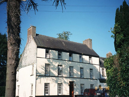 CastlefarmHouse · 949 yd
 Saint Gertrude's Catholic ChurchChurch/chapel · 1494 yd
 Scotia's GraveArchaeological place · 5.2 mi
 European Yew5.6 mi
 Knockmichael MountainMountain / peak · 5.7 mi
_1.jpg/250px-Aghadoe_(Early_Medieval_Ecclesiastical_Site)_1.jpg "Photo: Berthold Strucken, Wikimedia Commons · CC BY-SA 4.0") Aghadoe Early Medieval Ecclesiastical SiteHeritage attraction · 7.6 mi
Aghadoe Early Medieval Ecclesiastical SiteHeritage attraction · 7.6 mi Parkavonear CastleCastle · 7.6 mi
_-_geograph.org.uk_-_1392760.jpg/250px-Castles_of_Munster,_Ballymalis,_Kerry_(3)_-_geograph.org.uk_-_1392760.jpg "Photo: Mike Searle, Wikimedia Commons · CC BY-SA 2.0") Ballymalis CastleCastle · 7.7 mi
Ballymalis CastleCastle · 7.7 mi Japanese pagoda tree8.4 mi
.jpg/250px-Dunloe_(Ogham_Stones).jpg "Photo: Berthold Strucken, Wikimedia Commons · CC BY-SA 4.0") Dunloe Ogham StonesHeritage attraction · 8.5 mi
Dunloe Ogham StonesHeritage attraction · 8.5 mi Circular WalkWalking route · 9.0 mi
 Lamb IslandIsland · 9.2 mi
More archaeology and monuments in County Kerry · All of County Kerry
What do you know about this place?