What is recorded here
The following description is derived from the published 'Archaeological Inventory of County Meath' (Dublin: Stationery Office, 1987). In certain instances the entries have been revised and updated in the light of recent research.
Date of upload/revision: 10 July 2007
Small rectangular fields (dims. c. 20m by 10m) defined by ditches, covering c. 5 acres.
The monument record does not grant public access. Check the route and ask the landowner before entering private land.
- What survives
- Recorded monument
Places near here
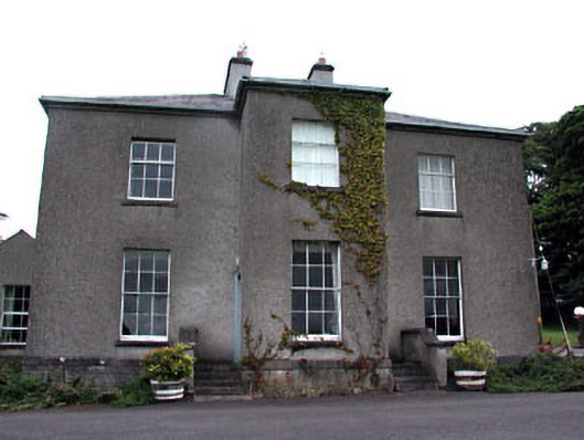 Skryne Rectoryrectory/glebe/vicarage/curate's house · 631 yd
 St. Columbkilles WellHoly well · 650 yd
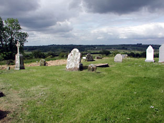 graveyard/cemeterygraveyard/cemetery · 812 yd
 Skreen CastleCastle, tower house · 1074 yd
 CastleCastle, motte · 1101 yd
 EmbankmentEnclosure · 1243 yd
 Candle HillMountain / peak · 1.2 mi
 Tara Open StudioGallery · 1.5 mi
 Hill of TaraVisitor information · 1.5 mi
 Saint Patrick'sMemorial · 1.6 mi
 Battle of Tara Hillbattle · 1.7 mi
 Battle of Tara (Ireland)Major battlefield · 1.7 mi