What is recorded here
In tillage, near upper edge of E-facing slope. Roughly rectangular area (dims. 22m N-S; 30m E-W) with rounded corners is defined by earthen scarp (Wth 3.75m; H 1.25m). Gentle bank (Wth 6.8m; int. H 0.4m; ext. H 1.5m) defines W-side and W-end of N-side. Breach (Wth 3m) at WSW. External fosse (Wth 6.55m; D 0.55m) is truncated by ploughing and incorporated into rest of field ESE-S-SW. Earthen and hedgerow field boundaries enclose monument to N and E and row of trees on outer edge of surviving fosse SW-W-NW. Pile of organic waste on exterior at ESE. Monument described as levelled by Cahill (1982).
Compiled by: Jean Farrelly
Date of upload: 26 August 2011
The monument record does not grant public access. Check the route and ask the landowner before entering private land.
- What survives
- Recorded monument
Places near here
 Enclosure in Jossestown,killerk NorthEnclosure · 663 yd
 (Site of) Killerk CastleCastle, unclassified · 736 yd
 Rathdrum Castle (in ruins)Castle, tower house · 914 yd
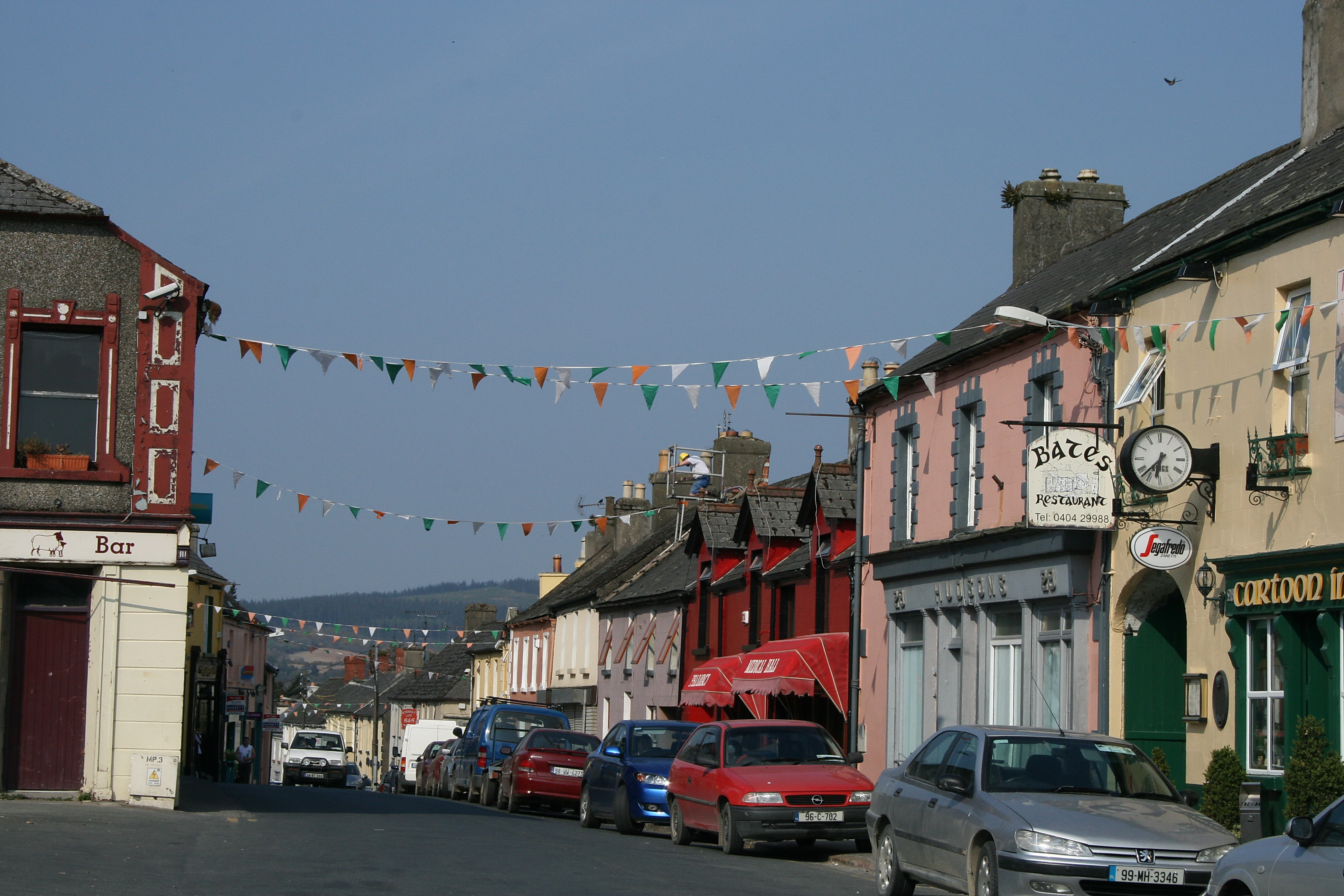 (Site of) TemplemurryChurch · 1005 yd
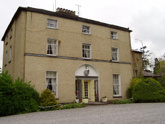 Clonacody Housecountry house · 1526 yd
 Newtown Househouse · 1688 yd
 Pedunculate OakPedunculate Oak · 1.1 mi
 Grove WoodForest · 1.6 mi
 East GateMemorial · 2.1 mi
 Kilknockan HillMountain / peak · 3.2 mi
 former site of a Ring FortArchaeological place · 1678 yd
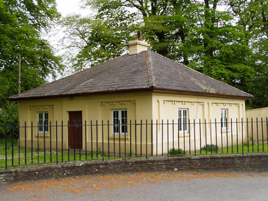 Lakefieldgate lodge · 1708 yd