What is recorded here
On a gentle SW-facing hillside in pasture. A report in 1975 (SMR file) recorded a raised rectangular area (74.4m NE-SW; 46.4m NW-SE) enclosed by a low bank of earth and stone. There was a wide, shallow, external fosse along the SE and SW sides and a modern drain along the other two sides. The original entrance was not recognisable. The monument has since been levelled and its outline is now barely discernible.
Compiled by: Patrick F. O'Donovan
Date of upload: 3 May 2012
This monument is subject to a preservation order made under the National Monuments Acts 1930 to 2014 (PO no. 7/1972).
The monument record does not grant public access. Check the route and ask the landowner before entering private land.
- What survives
- Recorded monument
Places near here
 KilnKiln, lime · 833 yd
 Enclosure in CloonahardEnclosure · 1052 yd
 Man-made underground passage in CloonahardMan-made underground passage · 1206 yd
 Bawn in LissardowlanBawn · 1476 yd
 CastleCastle, Anglo-Norman masonry castle · 1496 yd
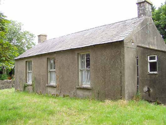 Corboy National Schoolschool · 1566 yd
 Oldtown DemesneForest · 1.4 mi
 Oldtown CopseWood · 1.6 mi
 Saint Mel's CathedralCathedral · 4.1 mi
 First World War MemorialMemorial · 4.2 mi
 Bully's Acregraveyard/cemetery, unknown · 4.5 mi
 National Famine WayWalking route · 4.8 mi