What is recorded here
On level, low-lying ground. A raised circular area (diam. 19.8m) enclosed by a much-denuded, low bank of earth and stone (Wth 3.1m; H 0.25m max.). A report in 1975 (SMR file) recorded an intervening fosse and an outer bank, and noted that the original entrance was at E. The fosse has since been infilled but its outline (Wth c. 3m) is still identifiable. The outer bank is not visible at ground level. Due to the degraded condition of the bank the entrance is not evident.
Compiled by: Patrick F. O'Donovan
Date of upload: 11 January 2012
A local fairy fort (ringfort/rath); wider significance not recorded.
The monument record does not grant public access. Check the route and ask the landowner before entering private land.
- What survives
- Recorded monument
Places near here
 BarrowBarrow, mound barrow · 506 yd
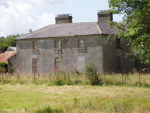 Rosemount Househouse · 537 yd
 Field boundary in LissardowlanField boundary · 915 yd
 Bawn in LissardowlanBawn · 917 yd
 CastleCastle, Anglo-Norman masonry castle · 934 yd
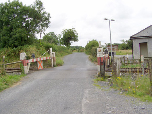 level crossinglevel crossing · 1111 yd
 Oldtown DemesneForest · 1.8 mi
 Oldtown CopseWood · 1.9 mi
 Saint Mel's CathedralCathedral · 3.0 mi
 First World War MemorialMemorial · 3.1 mi
 Graveyard in Curry (ardagh By., Coolamber Ed)Graveyard · 4.2 mi
 Granard MotteMotte-and-bailey castle remains · 10 mi