
What is recorded here
On a gentle SSW-facing slope in pasture. Depicted as a small circular enclosure with the designation 'Moat' on the 1837 ed. of the OS 6-inch map. A circular, steep-sided, flat-topped mound of earth and stone (diam. at base 12.7m; diam. of summit 5.7m; H 2.3m). At W a portion of it has been destroyed by quarrying.
Compiled by: Patrick F. O'Donovan
Date of upload: 26 August 2011
Mound barrow, likely dating to the Early Bronze Age. Its construction reflects early burial practices involving earth and stone mounds, significant in understanding prehistoric funerary rituals in the region.
This remains an important historical record, but the official description says the monument is no longer visible or has been destroyed. The monument record does not grant public access. Check the route and ask the landowner before entering private land.
- What survives
- No visible remains or recorded as destroyed
Places near here
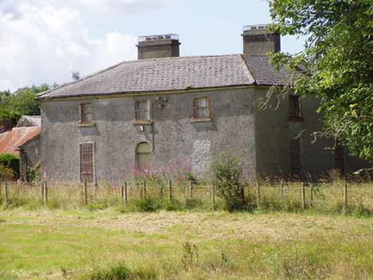 Rosemount Househouse · 330 yd
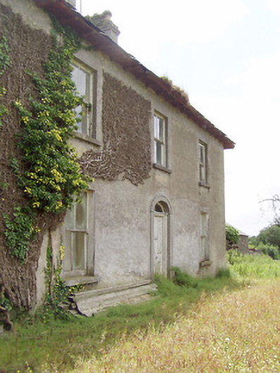 Cooleeny Househouse · 655 yd
 CastleCastle, Anglo-Norman masonry castle · 1198 yd
 Bawn in LissardowlanBawn · 1206 yd
 Field boundary in LissardowlanField boundary · 1219 yd
 Man-made underground passage in CloonahardMan-made underground passage · 1638 yd
 Oldtown DemesneForest · 2.1 mi
 Oldtown CopseWood · 2.1 mi
 Saint Mel's CathedralCathedral · 2.7 mi
 First World War MemorialMemorial · 2.8 mi
 Graveyard in Curry (ardagh By., Coolamber Ed)Graveyard · 4.0 mi
 Granard MotteMotte-and-bailey castle remains · 10 mi
Other information
Photo: Credit not shown in the picture search · Rights wording not checked; contact us if this picture should be removed