
What is recorded here
At the motte and bailey castle at Lissardowlan (LF014-071001-). Bradley et al. (1985, 32) recorded a narrow raised area running from the S of the motte to the modern road c. 110m S. This is not marked on any ed. of the OS 6-inch map but its outline (Wth 2.3, H 0.1m) is still identifiable, albeit intermittently, in the field as a low linear feature. Although Bradley et al. (ibid.) postulated that this may have been part of an old roadway. However, O'Conor and De Meulemeester (2007, 90) believed it to be the remains of a plough head, associated with ridge-and-furrow cultivation and dating to the post-medieval period. This feature appears to be part of the enclosing element of a small field to the SW of the motte and bailey containing ridge and furrow ridges. The ridges can be seen extending down the slope from NE to SW and are contained within a small field, the boundary bank of which can be seen on the E and S sides.
Compiled by: Caimin O'Brien
Date of upload: 26 August 2011
The monument record does not grant public access. Check the route and ask the landowner before entering private land.
- What survives
- Recorded monument
Places near here
 Bawn in LissardowlanBawn · 38 yd
 Castle, Anglo-Norman masonry castle in LissardowlanCastle, Anglo-Norman masonry castle · 99 yd
 Man-made underground passage in CloonahardMan-made underground passage · 660 yd
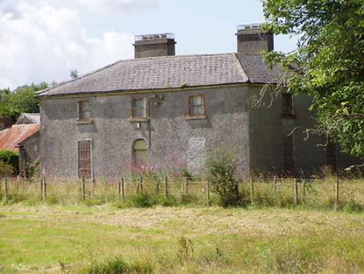 Rosemount House, Sraidhouse · 962 yd
 Enclosure in CloonahardEnclosure · 998 yd
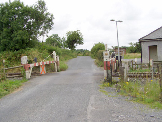 level crossing, CLOONAHARDlevel crossing · 1039 yd
 Oldtown DemesneForest · 1.7 mi
 Oldtown CopseWood · 1.8 mi
 Saint Mel's CathedralCathedral · 3.3 mi
 First World War MemorialMemorial · 3.4 mi
 Bully's Acre, Ballinaleegraveyard/cemetery, unknown · 4.9 mi
 Barrow, mound barrow in CooleenyBarrow, mound barrow · 1219 yd
Other information
Photo: Credit not shown in the picture search · Rights wording not checked; contact us if this picture should be removed