
What is recorded here
On low natural rise in wet, rushy terrain in rough pasture. Bivallate ringfort (TS062-085----) located c. 200m to ESE. Circular moated site (diam. 33.6m N-S and E-W) enclosed by a low bank with high stone content (Wth 2.8-3.5m, int. H 0.24-0.33m; ext. H 1.37m), waterlogged, flat-bottomed fosse (Wth 4.2-4.7m; D…
Read the whole record
From the National Monuments Service (Archaeological Survey of Ireland) record TS062-084
Places near here
Photo credits
- Maker not stated on source page, en.wikipedia.org
- Maker not stated on source page, www.flickr.com
- Maker not stated on source page, www.youtube.com
- National Inventory of Architectural Heritage
- Maker not stated on source page, thesilvervoice.wordpress.com
- Maker not stated on source page, uk.pinterest.com
- Maker not stated on source page, www.tripadvisor.ru
- Maker not stated on source page, commons.wikimedia.org
 Fairy fort / ringfort in CoolmoreFairy fort / ringfort · 288 yd
Explorer Tom Another fairy fort in Coolmore claims smugglers used its pond to hide crates of stolen tea. The banks are overgrown and…
 Earthwork in Coolbaun (cooleagh Par.)Earthwork · 467 yd
Explorer Tom Earthwork in Coolbaun has a priest who lost a bet there about whether it was oval or round, which is ridiculous given…
 Linear earthwork in Cooleagh (cooleagh Par.)Linear earthwork · 620 yd
Explorer Tom Another linear earthwork in Cooleagh runs north-south like it’s trying to reach the moon but gave up halfway. Its…
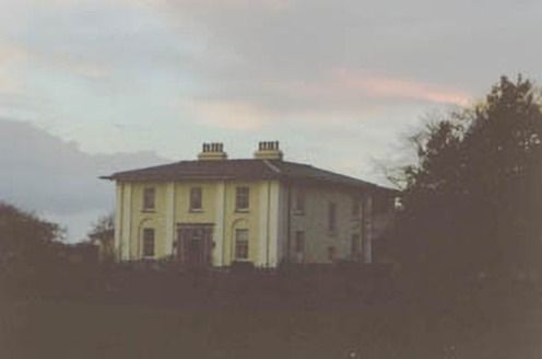 Coolmore HouseCountry house · 813 yd
Explorer Tom Coolmore House in Coolmore swears that touching a pilaster without luck brings bad weather all week long. It’s dressed…
 Mapped graveyardGraveyard · 1072 yd
Explorer Tom The rabbits here think this is prime real estate because nobody ever disturbs them, so they’ve moved in permanently.…
 Slainstown CastleCastle · 1.1 mi
Explorer Tom Slainstown Castle in County Tipperary has strict rules for visitors, though none of them are written down anywhere you…
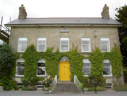 Lismortagh HouseHouse · 1.4 mi
Explorer Tom Lismortagh House is making the local rabbits think they’re living in a five-star resort just because it has those fancy…
 Carrigeen Castle (in ruins)Castle, tower house · 1.4 mi
Explorer Tom Carrigeen Castle is why map makers got it wrong; they thought it was a castle when it was actually a very ambitious…
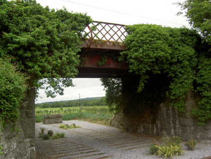 bridge1.5 mi
Explorer Tom Bridge in Curraghscarteen has iron girders that look like they’re bracing for impact from the seagulls who hate it so…
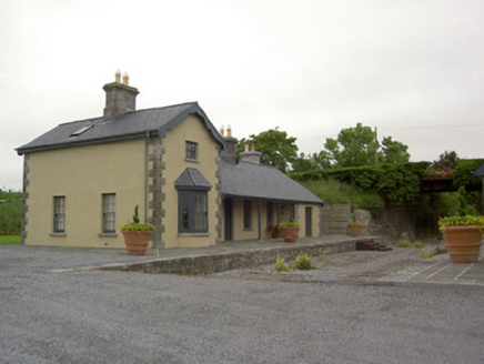 Farranaleen Railway StationRailway station · 1.5 mi
Explorer Tom Farranaleen Railway Station has chosen 'I Will Survive' as its anthem because it’s standing there looking perfectly…
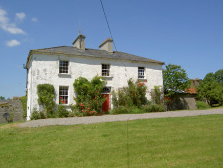 Knockanglass HouseHouse · 1.7 mi
Explorer Tom Knockanglass House has been sitting around since the Georgian era, looking all proper and balanced. The ghost living…
 Earthwork in RathavinEarthwork · 1.8 mi
Explorer Tom Earthwork in Rathavin had a prophecy saying it would turn into gold if you sneezed near it, but nobody ever dared test…
More archaeology and monuments in County Tipperary · All of County Tipperary

What do you know about this place?Tap to add a comment or ask a question