
What is recorded here
From the National Monuments Service (Archaeological Survey of Ireland) record CO002-002
Places near here
Photo credits
- Maker not stated on source page, www.pinterest.com
- Maker not stated on source page, www.dreamstime.com
- National Inventory of Architectural Heritage
- Newtownshandrum GAA & Camogie; individual photographer not named, newtownshandrumgaa.com
- Maker not stated on source page, www.alamy.com
- Golfing in Ireland; photographer not stated, Source publisher
 Cist in Ballynakilla EastCist · 1604 yd
Explorer Tom Cist in Ballynakilla East is a 'compartmented cist' found in a sandpit in the 1920s. It had an inverted urn in each…
 Fairy fort / earthen ringfort in Ballydaheen (orrery and Kilmore By.)Fairy fort / earthen ringfort · 1.2 mi
Explorer Tom This Ballydaheen ringfort has an interior shaped like a saucer, which I find very odd for a fort. The bank is levelled…
 Valley MountHouse · 1.2 mi
Explorer Tom Valley Mount has gate piers that are fancy enough to make you feel small. It might be singing along to its favourite…
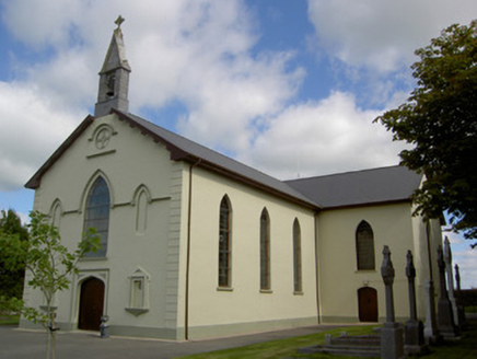 Saint Joseph's ChurchChurch/chapel · 1.3 mi
Explorer Tom Saint Joseph's Church in Ballynakilla East has a bellcote with a cast-iron bell that probably hasn't rung since the…
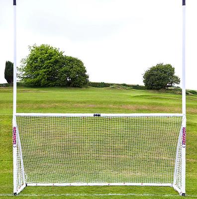 Newtownshandrum GAA pitchGAA ground · 1.3 mi
 Fairy fort / earthen ringfort in GortskaghFairy fort / earthen ringfort · 1.4 mi
Explorer Tom Fairy fort / earthen ringfort in Gortskagh is a grass-covered low rise with a shallow fosse around it. It's sitting…
 Gortskagh HouseOutbuilding · 1.6 mi
Explorer Tom Gortskagh House outbuilding in Gortskagh has a chamfered corner specifically so carts wouldn’t scratch it, which is the…
 Ross CottageHouse · 1.6 mi
Explorer Tom Ross Cottage is writing scathing reviews of its visitors on Yelp, complaining they don't appreciate its cast-iron…
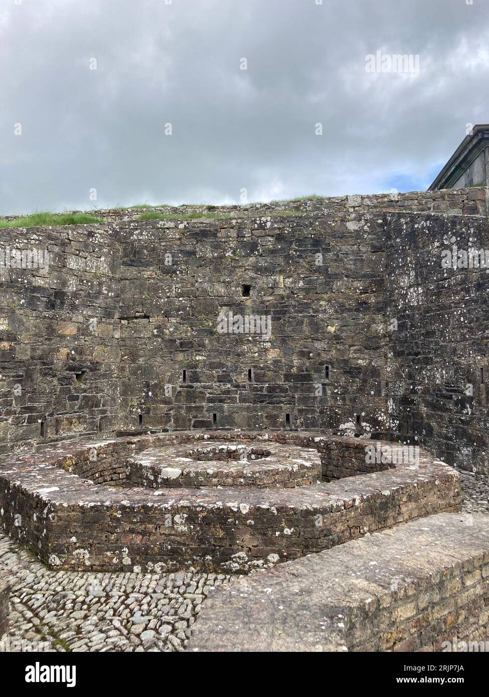 Enclosure in CloghanugheraEnclosure · 1.7 mi
Explorer Tom Enclosure in Cloghanughera is on a west-facing slope with a sharp fall to marshy ground. It’s basically a small hill…
 Castle (in Ruins)Castle, unclassified · 1.9 mi
Explorer Tom Castle in Cloghanughera sits on a cliff edge with foundations still visible and large chunks of masonry strewn about.…
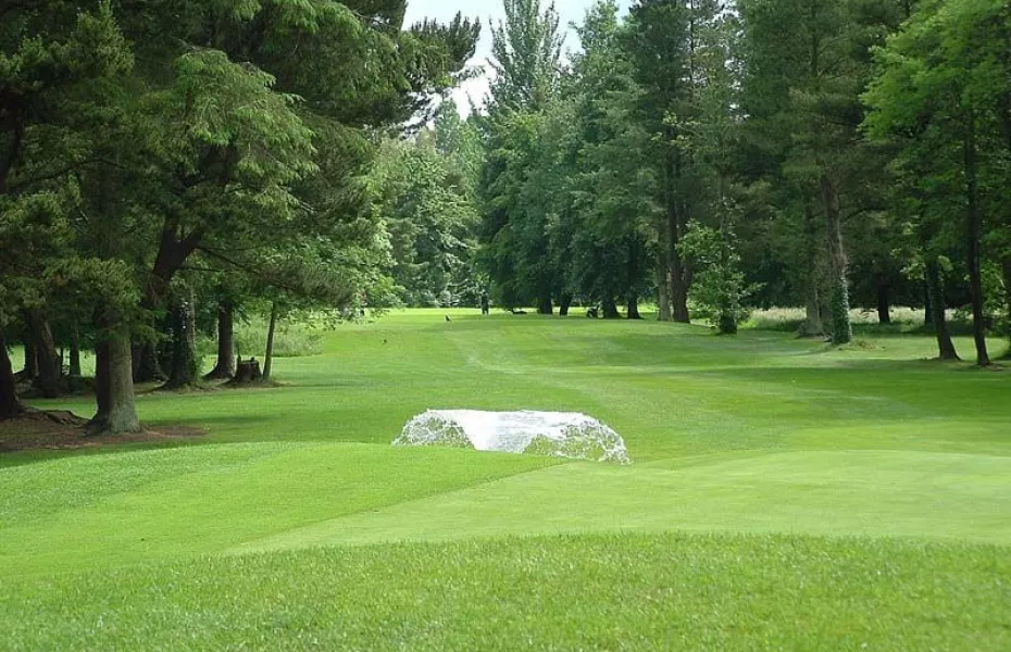 Charleville Golf ClubGolf course · 2.4 mi
 Deliga CemeteryCemetery · 5.6 mi
Explorer Tom Deliga Cemetery in County Cork is famous for the bishop who refused to visit because he didn't like the vibe. He said…
More archaeology and monuments in County Cork · All of County Cork

What do you know about this place?Tap to add a comment or ask a question