What is recorded here
Castlenalact preserves a rectangular moated enclosure measuring 41.5 metres by 26.3 metres, where earthen banks and a wet ditch still frame the ghost of a northern castle. The southwest causeway invites entry across broken water, suggesting residents once navigated a deliberate boundary between home and wilderness. Whatever life filled that small fortress has vanished, leaving only the geometry of defense and the quiet patience of soil to remember it.
Rectangular area (41.5m NE-SW; 26.3m NW-SE) enclosed by earthen bank (H 0.8m) with external fosse (D 1.0m). Outer bank (H 0.75m) on SE side. Entrance (Wth 2.5m) with causeway across fosse on SW side; break in opposite bank to NE. Remains of castle (CO096-01402-) in N corner.
The above description is derived from the published 'Archaeological Inventory of County Cork. Volume 1: West Cork' (Dublin: Stationery Office, 1992). In certain instances the entries have been revised and updated in the light of recent research.
Date of upload/revision: 14 January 2009
The monument record does not grant public access. Check the route and ask the landowner before entering private land.
- What survives
- Recorded monument
Places near here
 Castle Nalacht, site ofCastle, unclassified · 21 yd
 GallaunsBoulder-burial · 496 yd
 Lisnaboul (Site of)Fairy fort / earthen ringfort · 796 yd
 Scartnamuck Househouse · 1126 yd
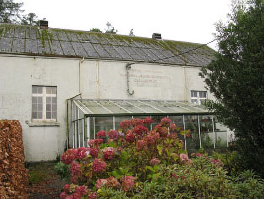 Templemartin Creamerycreamery · 1624 yd
 Graveyard in KilnagnadyGraveyard · 1.6 mi
 Mount Pleasant WoodWood · 1.7 mi
 Towers (in Ruins)House, fortified house · 3.3 mi
 Bandon War MemorialMemorial · 3.7 mi
 Cottage Road WoodWood · 4.2 mi
 Carbury's WellSpring · 4.3 mi
 Marie LouiseWreck · 6.5 mi