What is recorded here
In pasture; surrounding field fences have been levelled. No visible surface trace. O.S. Name Book mentions graveyard attached to church (CO096-027002-) (Ó Ríordáin 1934, 16).
From the National Monuments Service (Archaeological Survey of Ireland) record CO096-027001
The monument record does not grant public access. Check the route and ask the landowner before entering private land.
- What survives
- Recorded monument
Places near here
 Ballinacurra MillMill (water) · 1649 yd
 Ballinacurra BridgeBridge · 1709 yd
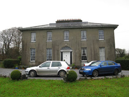 Brinny GlebeRectory/glebe/vicarage/curate's house · 1.2 mi
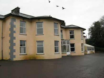 Upton HouseCountry house · 1.4 miCastle Nalacht, site ofCastle, unclassified · 1.6 mi
 Grave YardGraveyard · 1.7 mi
 Sunday WellSpring · 1.9 miMount Pleasant WoodWood · 3.3 miBandon War MemorialMemorial · 4.0 mi
 Kilpadder Burial Ground (Site of)Burial ground · 4.2 mi
 Castle BernardRuins · 4.8 mi
 Pedunculate Oak5.0 mi
Pictures: National Inventory of Architectural Heritage; Hywel Williams, Geograph · CC BY-SA 2.0; Neville Goodman, Wikimedia Commons · CC BY-SA 2.0; Neville Goodman, Geograph · Creative Commons Attribution-ShareAlike 2.0; Mike Searle, Geograph · CC BY-SA 2.0; Algirdas at Lithuanian Wikipedia, Wikimedia Commons · Public domain
More memorials and graveyards in County Cork · All of County Cork
What do you know about this place?