
What is recorded here
Castle Nalacht stands as a buried rectangular mound in the north corner of a moated site, its rubble hidden beneath years of overgrowth. The water barrier still frames the land, suggesting a residence built to control access and withstand local hostility. Ó Ríordáin identified the mound as the castle site in 1931, preserving a shape that ordinary sight no longer recognises. The moat and mound remain joined, waiting for someone to imagine the rooms that disappeared inside them.
In N corner of moated site (CO096-014001). Rectangular mound of rubble (c. 11.5m N-S; c. 7m E-W) abutting NW bank. Heavily overgrown. According to Ó Ríordáin (1931, 64), site of castle.
The above description is derived from the published 'Archaeological Inventory of County Cork. Volume 1: West Cork' (Dublin: Stationery Office, 1992). In certain instances the entries have been revised and updated in the light of recent research.
Date of upload/revision: 14 January 2009
The monument record does not grant public access. Check the route and ask the landowner before entering private land.
- What survives
- Recorded monument
Places near here
 GallaunsBoulder-burial · 478 yd
 Lisnaboul (Site of)Fairy fort / earthen ringfort · 777 yd
 Scartnamuck Househouse · 1114 yd
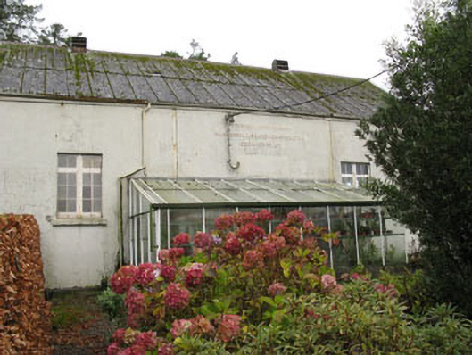 Templemartin Creamerycreamery · 1608 yd
 Graveyard in KilnagnadyGraveyard · 1.6 mi
 Mount Pleasant WoodWood · 1.7 mi
 Towers (in Ruins)House, fortified house · 3.3 mi
 Bandon War MemorialMemorial · 3.7 mi
 Cottage Road WoodWood · 4.2 mi
 Carbury's WellSpring · 4.4 mi
 Castlemore CastleCastle · 4.5 mi
 Marie LouiseWreck · 6.5 mi
Other information
Photo: Credit not shown in the picture search · Rights wording not checked; contact us if this picture should be removed