
What is recorded here
In lowlying gently undulating pasture with moderate views in all directions. Enclosure (LI022-196----) lies 200m to N. Identified from Bruff Survey aerial photographs taken 1986 (Bruff 67; AP 4/3707) as a rectangular-shaped cropmark. Surveyed by the ASI in 2000 and described as a rectangular shaped area (56m N-S; 45m…
Read the whole record
From the National Monuments Service (Archaeological Survey of Ireland) record LI022-197
Places near here
Photo credits
- National Inventory of Architectural Heritage
- Maker not stated on source page, www.wikidata.org
- Maker not stated on source page, evoke.ie
- Maker not stated on source page, www.alamy.com
- Maker not stated on source page, commons.wikimedia.org
- Maker not stated on source page, tr.pinterest.com
- Mike Searle, Geograph · CC BY-SA 2.0
- Golfing in Ireland; photographer not stated, Source publisher
- Kmcnamee, Wikimedia Commons · CC BY-SA 4.0
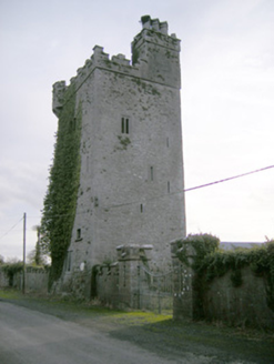 Williamstown CastleCastle/fortified house · 1094 yd
Explorer Tom Williamstown Castle in Ballynagarde sounds like a town named after a man who never actually lived there. The name…
 Fairy fort / earthen ringfort in BoherloadFairy fort / earthen ringfort · 1237 yd
Explorer Tom Fairy fort / earthen ringfort in Boherload has a hidden message written in its stones, if you squint really hard. It…
 Fairy fort / earthen ringfort in GortgarraltFairy fort / earthen ringfort · 1273 yd
Explorer Tom Fairy fort / earthen ringfort in Gortgarralt loves singing 'I Will Survive' while its western half gets levelled by the…
 Fairy fort / ringfort in Fanningstown (smallcounty By.)Fairy fort / ringfort · 1312 yd
Explorer Tom Fairy fort / ringfort in Fanningstown is still mad at the weather for ruining its stone face, even though it’s been…
 Standing stone in Fanningstown (smallcounty By.)Standing stone · 1621 yd
Explorer Tom Standing stone in Fanningstown is a boulder that the rabbits think is a really aggressive hill to nap on. It’s made of…
 Boherload HouseHouse · 1650 yd
Explorer Tom Boherload House hums 'You Are My Sunshine' because its walled avenue needs cheering up. It’s a big farmhouse pretending…
 CastleCastle, unclassified · 1664 yd
Explorer Tom Castle in Cloghadoolarty North would have 'Here lies nothing' written on its tombstone if it had one worth carving. The…
 Ballynagarde HouseCastle, tower house · 1.0 mi
Explorer Tom Ballynagarde House is what you’d be at a wedding if you were the one who brought the cheap wine. You’re standing in the…
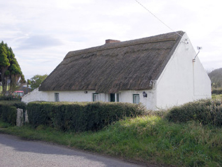 The ThatchHouse · 1.0 mi
Explorer Tom The Thatch in Loughanstown is a simple vernacular house with reed roofing that looks like it’s been sitting there…
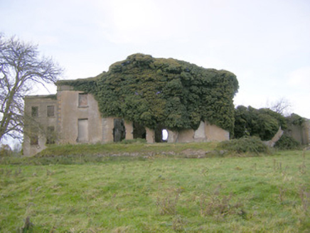 Ballynagarde HouseCountry house · 1.0 mi
Explorer Tom Ballynagarde House is a ruin that cost ten thousand pounds back in the day, which sounds expensive until you count the…
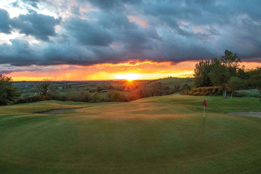 Ballyneety Golf ClubGolf course · 1.8 mi
 Dooley Park, South LibertiesGAA ground · 2.1 mi
More archaeology and monuments in County Limerick · All of County Limerick

What do you know about this place?Tap to add a comment or ask a question