What is recorded here
Fairy fort in Boherload: an earthen ringfort, oval 52m north-south, with a scarp and outside fosse, set on a slight east-facing pasture slope with wide views. People may have lived there, marked territory, watched roads or kept animals inside the bank while neighbours passed beyond. The fairies enter later, as they do everywhere, taking what the shape resists and returning it changed.
In pasture on slight E facing slope with excellent views in all directions, 100m W of townland boundary with Partatotaun, an enclosure (LI022-050----) lies 165m to SE. Present remains consist of a raised oval shaped area (dims. 52m N-S) defined by scarp with external fosse (int. D 0.45m; ext. D 0.5m; base Wth 2.7m; top Wth 6.1m) deepest from SW to W. Monument is visible as an oval shaped enclosure lined with trees on Google Earth orthoimage taken 19/11/2019.
See attached sketch plan surveyed and drawn by ASI and Google Earth orthoimage.
Compiled by: Fiona Rooney
Date of upload: 30 July 2020
The monument record does not grant public access. Check the route and ask the landowner before entering private land.
- What survives
- Recorded monument
Places near here
 Boherload Househouse · 476 yd
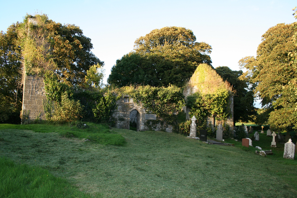 Enclosure in Boherload,carnaneEnclosure · 491 yd
 Enclosure in Fanningstown (smallcounty By.)Enclosure · 750 yd
 ToberauillinSpring · 766 yd
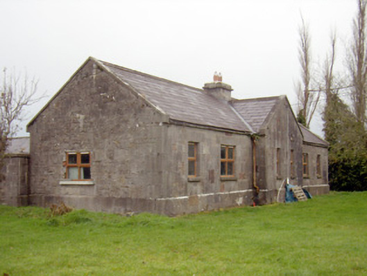 outbuilding, stablesoutbuilding, stables · 1257 yd
 Ballynagarde Ho.Castle, tower house · 1333 yd
 Bawn in Raheen (clanwilliam By., Roxborough Ed)Bawn · 1642 yd
 Carnane RockNamed rock · 1.0 mi
 Skool HillMountain / peak · 2.2 mi
 Villiers WellSpring · 2.3 mi
 European ashEuropean ash · 4.7 mi
 Monasteranenagh AbbeyHeritage attraction · 5.6 mi