What is recorded here
On a low rise in pasture. Depicted on the 1837 ed. of the OS 6-inch map as a rectangular enclosure, aligned NE-SW, with the designation 'Fort'. A report in 1986 (SMR file) recorded that only the NE (L 28m) and SE (L 35m) sides survived, both defined by an earthen bank. Traces of a fosse were evident along the SE side. The SW and NW sides had been levelled. Further levelling has since occurred and the monument is not visible at ground level.
Compiled by: Patrick F. O'Donovan
Date of upload: 21 February 2012
The monument record does not grant public access. Check the route and ask the landowner before entering private land.
- What survives
- Recorded monument
Places near here
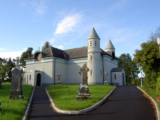 Saint James's Catholic Churchchurch/chapel · 183 yd
 Frys IslandCrannog · 1.1 mi
 Enclosure in Knockanbaun OR WhitehillEnclosure · 1.1 mi
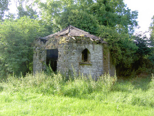 Cloonfin Housegate lodge · 1.1 mi
 Clonfin Ambush MemorialMemorial · 1.3 mi
 Moat & FortCastle, motte and bailey · 1.6 mi
 RuinsCastle, unclassified · 1.8 mi
 Cloonfin WoodForest · 1.9 mi
 Ballinalee Forest WalkForest · 2.2 mi
 Bully's Acregraveyard/cemetery, unknown · 2.5 mi
 Edgeworthstown BypassMemorial · 4.1 mi
 Granard MotteMotte-and-bailey castle remains · 4.9 mi