What is recorded here
Raised subrectangular, grass-covered area (dims c. 75m N-S; c. 60m E-W) enclosed by two low, wide earthen banks and hedges with an intermediate fosse. The outer bank is identifiable only on the N and E sides. At the S and W it has been replaced by modern field boundaries. a break in the inner bank midway along the W side, with accompanying causeway, represents the original entrance.
The above description is derived from the published 'Archaeological Inventory of County Cavan' (Dublin: Stationery Office, 1995). In certain instances the entries have been revised and updated in the light of recent research.
Date of revision: 18 April 2016
The monument record does not grant public access. Check the route and ask the landowner before entering private land.
- What survives
- Recorded monument
Places near here
 Enclosure in TullygullinEnclosure · 808 yd
 CartronfreeMountain / peak · 1466 yd
 Creevy Househouse · 1545 yd
 BarrowBarrow, pond barrow · 1666 yd
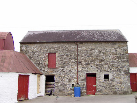 Columbia Houseoutbuilding · 1.1 mi
 CarrickabaneMountain / peak · 1.6 mi
 IdicatedCastle, unclassified · 1.7 mi
 Moynagh Upper ForestForest · 1.9 mi
 Carrick RockWood · 2.4 mi
 Sporting RockIslet · 2.9 mi
 Bakers FortCastle, ringwork · 2.9 mi
 Watty's RocksIslet · 3.0 mi