What is recorded here
On S-facing slope, on E-W ridge overlooking Owenboy river valley to S. Rectangular area (33.5m E-W; 51.7m N-S) enclosed by two banks (max. int. H1.65m; max. ext. H 1.5m); separated by intervening fosse; heavily overgrown. Outer bank incorporated into field fence to N and W; forms edge of laneway to E and garden wall of house to S.
From the National Monuments Service (Archaeological Survey of Ireland) record CO086-036
The monument record does not grant public access. Check the route and ask the landowner before entering private land.
- What survives
- Recorded monument
Places near here
Photo credits
- National Inventory of Architectural Heritage
- Rob Hodgkins, Wikimedia Commons · CC BY-SA 2.0
- Mike Searle, Geograph · CC BY-SA 2.0
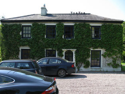 Fivemilebridge Mill HouseMill manager's house · 583 ydEnclosure in AdamstownEnclosure · 658 yd
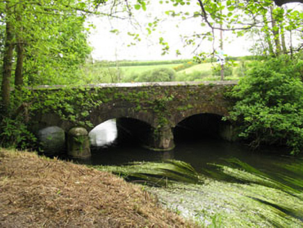 Fivemile BridgeBridge · 703 ydEnclosure in AdamstownEnclosure · 801 yd
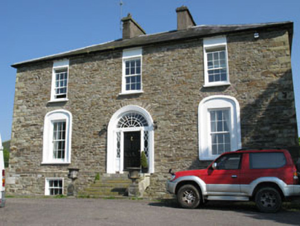 Ballygarvan HouseHouse · 1630 yd
 Millbrook HouseMiller's house · 1.4 mi
 Ballinhassig BridgeBridge · 1.4 mi
_(40783618904).jpg/250px-Manx2_EC-ITP_Metro_EMA(5)_(40783618904).jpg "Photo: Rob Hodgkins, Wikimedia Commons · CC BY-SA 2.0") Manx2 Flight 7100Aviation accident · 1.6 miRumley's Open FarmHeritage attraction · 1.9 miMeadstown Castle (Site of)Castle, unclassified · 2.0 mi
Manx2 Flight 7100Aviation accident · 1.6 miRumley's Open FarmHeritage attraction · 1.9 miMeadstown Castle (Site of)Castle, unclassified · 2.0 mi Ballea CastleCastle, tower house · 3.3 miSt Laitiarain's WellSpring · 3.4 mi
More archaeology and monuments in County Cork · All of County Cork
What do you know about this place?