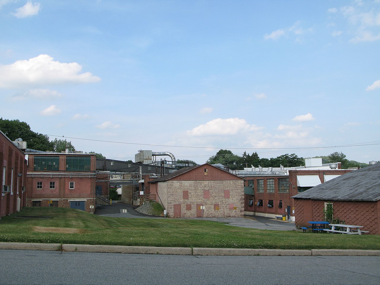
What is recorded here
Adamstown is an enclosed place in County Cork, Ireland. It is not a global dataset, a hidden cache or a remote server. The facts above are local, visible and ordinary. That is why it is interesting.
In tillage, on S-facing slope. Casey (1983, 125) records 'destroyed' rectangular enclosure on Twomey's farm. According to local tradition, site of circular enclosure destroyed approximately "100 years ago". No visible surface trace.
The above description is derived from the published 'Archaeological Inventory of County Cork. Volume 2: East and South Cork' (Dublin: Stationery Office, 1994). In certain instances the entries have been revised and updated in the light of recent research.
Date of upload/revision: 14 January 2009
The monument record does not grant public access. Check the route and ask the landowner before entering private land.
- What survives
- Recorded monument
Places near here
 Moated site in AdamstownMoated site · 801 yd
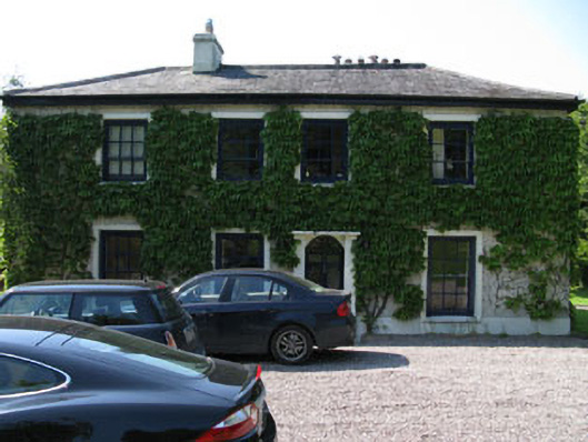 Fivemilebridge Mill Housemill manager's house · 1326 yd
 IndicatedEnclosure · 1426 yd
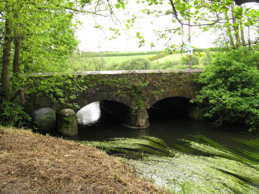 Fivemile Bridgebridge · 1477 yd
 Manx2 Flight 7100aviation accident · 1.3 mi
 Rumley's Open FarmHeritage attraction · 1.5 mi
 Graveyard in CurraghconwayGraveyard · 3.5 mi
 Ballea CastleCastle, tower house · 3.5 mi
 Joseph MurphyMemorial · 3.9 mi
 St Laitiarain's WellSpring · 3.9 mi
 Cullen Castle (Site of)Castle, unclassified · 3.9 mi
 Vernon Mount ViewViewpoint · 4.1 mi
Other information
Photo: Credit not shown in the picture search · Rights wording not checked; contact us if this picture should be removed