What is recorded here
Located NW of the centre of the ceremonial enclosure (MO010-015----). This is a circular scrub-covered and steep-sided mound (diam. of base 13m; diam. of top 2m; H 2m) defined by a fosse (Wth 2.6m; D 0.4m) SE-SW and NW-NE with a causeway (Wth 2m) at W.
From the National Monuments Service (Archaeological Survey of Ireland) record MO010-015001
The monument record does not grant public access. Check the route and ask the landowner before entering private land.
- What survives
- Recorded monument
Places near here
Photo credits
- National Inventory of Architectural Heritage
- James O'Neill, Wikimedia Commons · CC BY-SA 4.0
- Sean Davis, Geograph · CC BY-SA 2.0
- Kenneth Allen, Geograph · Creative Commons Attribution-ShareAlike 2.0
- Andreas F. Borchert, Wikimedia Commons · CC BY-SA 3.0 de
- Raymond Okonski, Wikimedia Commons · CC BY-SA 2.0
- Dean Molyneaux, Geograph · CC BY-SA 2.0
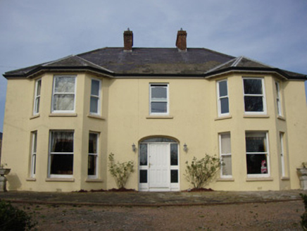 Greenmount HouseHouse · 450 yd
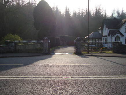 Castleshane HouseGates/railings/walls · 1196 yd
 Castleshane HouseGate lodge · 1200 yd
 Battle of ClontibretBattlefield · 2.2 mi
 Multiperiod Church, Graveyard & Enclosure: Derrynoose Old Church, Lisrocatty, Lysreakeilte, Listrakelt, St. Mochua's in ListarkeltMultiperiod Church, Graveyard & Enclosure: Derrynoose Old Church, Lisrocatty, Lysreakeilte, Listrakelt, St. Mochua's · 3.1 mi
 Holy Well: Saint Malachys Well, Saint Mochuas Well & Tobar Mochua Agus Mocholmog in DrummelandHoly Well: Saint Malachys Well, Saint Mochuas Well & Tobar Mochua Agus Mocholmog · 3.1 mi
 Monaghan County MuseumMuseum · 4.4 mi
 Rossmore MonumentMemorial · 4.4 mi
 Keady MonumentMemorial · 6.3 mi
 Keady GlenForest · 6.4 mi
 CarrigatukeMountain / peak · 9.9 mi
 Fews ForestForest · 10 mi
More archaeology and monuments in County Monaghan · All of County Monaghan
What do you know about this place?