
Places near here
Photo credits
- Jamie Carroll, Geograph · CC BY-SA 2.0
- National Inventory of Architectural Heritage
- Brian Shaw, Wikimedia Commons · CC BY-SA 2.0
- Tjp finn, Wikimedia Commons · CC BY-SA 4.0
- Dieglop, Wikimedia Commons · CC BY-SA 4.0
 Slane CastleCastle, unclassified · 1.3 mi
Explorer Tom Slane Castle looks tough enough to survive a zombie attack by just standing there and judging everyone. It’s had a few…
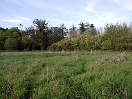 walled garden1.5 mi
Explorer Tom Walled garden in Slanecastle Demesne County Meath is older than the game keeper's house next door, which tells you…
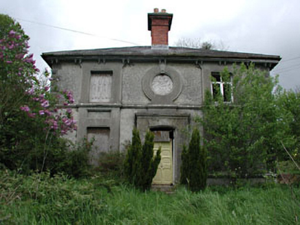 worker's house1.5 mi
Explorer Tom Worker's house in Slanecastle Demesne is prepping for its interview. It’s got stained glass and a slate roof, so it…
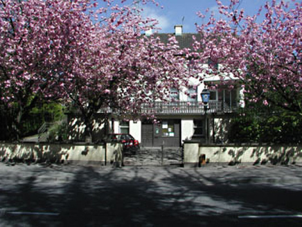 Slane Garda Síochána StationGarda station/constabulary barracks · 1.8 mi
Explorer Tom Slane Garda Síochána Station in Slane, County Meath might be hiding a treasure that is definitely just a biscuit tin in…
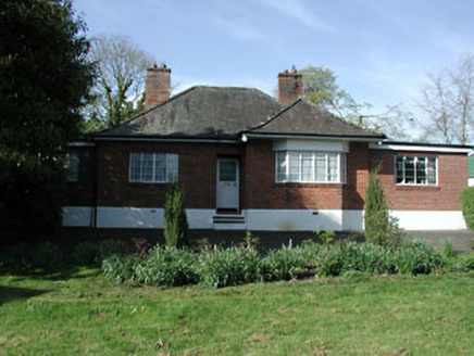 The AnchorageHouse · 1.8 mi
Explorer Tom The Anchorage in Slane has a prophecy about it that never came true, probably involving a yacht. The steel windows are…
 Saint Patrick's Church (Slane)Church/chapel · 1.9 mi
Explorer Tom Saint Patrick’s in Slane took more tea to build than I have had in my life. It’s got medieval bits mixed in with…
 Monastic RuinsChurch · 1.9 mi
Explorer Tom Monastic Ruins at Slanecastle are officially invisible, which is a great excuse for not finding them when you go…
 MonasteryEcclesiastical residence · 1.9 mi
Explorer Tom Monastery in Slanecastle Demesne is no longer visible, which means it’s probably just a bunch of stories about…
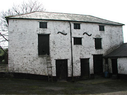 T. MeadeOutbuilding · 1.9 mi
Explorer Tom T. Meade outbuilding in Slane was designed by a mother-in-law who hated wasting space. The scale is weird for a…
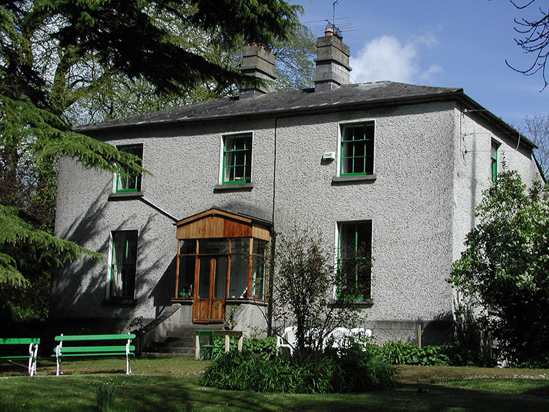 KillrianRectory/glebe/vicarage/curate's house · 1.9 mi
Explorer Tom Killrian rectory is where a priest once lost a bet to a vicar about who could eat more pies. The lamp standard came…
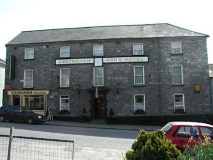 Conyngham Arms HotelHouse · 1.9 mi
Explorer Tom Conyngham Arms Hotel in Slane would post a photo of itself with the caption 'Main Street royalty'. It’s got that big…
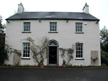 Mount Charles LodgeHouse · 2.0 mi
Explorer Tom Mount Charles Lodge in Slane is acting all modest but has this fine tooled limestone doorcase doing the heavy lifting.…
More archaeology and monuments in County Meath · All of County Meath

What do you know about this place?Tap to add a comment or ask a question