What is recorded here
Situated towards the top of the W-facing slope of a high hill. A circular embanked enclosure (ext. diam. c. 30m) is depicted here on the 1836 edition of the OS 6-inch map where it is described as a ‘Moat’, and a mound curtailed by property boundaries at N and E is depicted on the 1912 edition of the map. This is a circular defaced mound (diam. c. 15m; H c. 2m) truncated by property boundaries in the village of Crossakeel.
Situated towards the top of the W-facing slope of a high hill. A circular embanked enclosure (ext. diam. c. 30m) is depicted here on the 1836 edition of the OS 6-inch map where it is described as a ‘Moat’, and a mound curtailed by property boundaries at N and E is depicted on the 1912 edition of the map. This is a circular defaced mound (diam. c. 15m; H c. 2m) truncated by property boundaries in the village of…
From the National Monuments Service (Archaeological Survey of Ireland) record ME016-024
The monument record does not grant public access. Check the route and ask the landowner before entering private land.
- What survives
- Recorded monument
Places near here
Photo credits
- National Inventory of Architectural Heritage
- Bob Embleton, Geograph · CC BY-SA 2.0
- Didier Descouens, Wikimedia Commons · CC BY-SA 4.0
- Willow, Wikimedia Commons · CC BY 2.5
- RonanMcCormick, Wikimedia Commons · CC BY-SA 4.0
- Bill Griffiths, Wikimedia Commons · CC BY-SA 2.0
- Haydn Hammerton, Wikimedia Commons · CC BY-SA 4.0
- John M, Wikimedia Commons · CC BY-SA 2.0
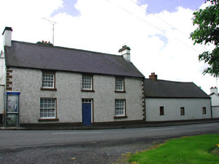 The Old BarracksHouse · 51 yd
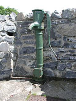 water pump114 yd
 Standing stone in Balnagon UpperStanding stone · 1.8 miRound TowerCastle, tower house · 1.9 mi
 Hawthorn3.1 mi
 European ash3.2 mi
 Earthen TumulusCastle, motte · 3.2 mi
 Grave YardGraveyard · 3.3 miOliver Plunkett memorialMemorial · 3.6 mi
 Slieve Na CalliaghMountain / peak · 4.2 mi
 Loughcrew Megalithic TombsHeritage attraction · 4.3 mi
 LoughcrewMegalithic tomb cemetery · 4.8 mi
More archaeology and monuments in County Meath · All of County Meath
What do you know about this place?