
What is recorded here
Located on a level landscape and c. 70m from the edge of a steep scarp (H c. 5m) down to the valley floor of a NW-SE section of the meandering Mattock River. This is a grass-covered mound (diam. of base 30m NNW-SSE; 28m ENE-WSW; H c. 3m) that is badly damaged at SE where it was quarried in the nineteenth century. A…
Read the whole record
From the National Monuments Service (Archaeological Survey of Ireland) record ME019-017
Places near here
Photo credits
- Maker not stated on source page, en.wikipedia.org
- Kieran Campbell, Geograph · CC BY-SA 2.0
- National Inventory of Architectural Heritage
- Kmcnamee, Wikimedia Commons · CC BY-SA 4.0
- Maker not stated on source page, monumentalireland.ie
- Kieran Campbell, Wikimedia Commons · CC BY-SA 2.0
- Tjp finn, Wikimedia Commons · CC BY-SA 4.0
- Maker not stated on source page, www.pinterest.ca
- Maker not stated on source page, www.dreamstime.com
- Sitomon, Wikimedia Commons · CC BY-SA 2.0
 Flat cemetery in MonknewtownFlat cemetery · 199 yd
Explorer Tom Flat cemetery in Monknewtown sits inside a henge that looks like a giant’s abandoned picnic circle. Locals say if you…
 Church (in Ruins)Church · 292 yd
Explorer Tom Church in Monknewtown is hiding a scandal involving a chaplain named Thomas Alen who probably didn’t clean his boots…
 mill (water)375 yd
Explorer Tom This Mill in Monknewtown is proud of its red brick chimneystack more than it is of actually grinding grain. It…
 Holy well in MonknewtownHoly well · 394 yd
Explorer Tom This Holy well in Monknewtown claims to be older than time itself, but its exact location is so fuzzy you could drive a…
 Slane GAA pitchGAA ground · 560 yd
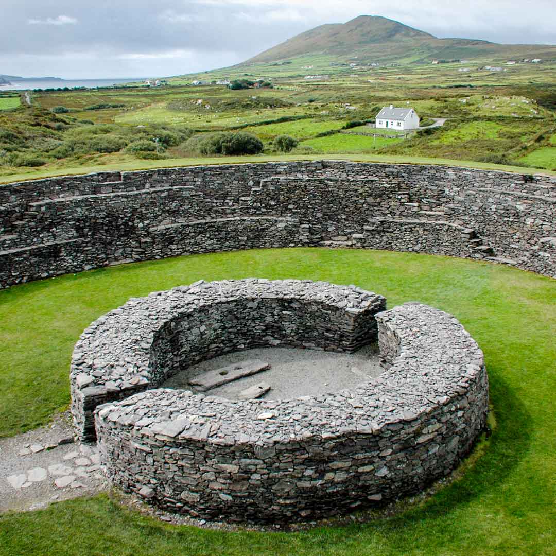 Fairy fort / earthen ringfort in SheepgrangeFairy fort / earthen ringfort · 693 yd
Explorer Tom Fairy fort / earthen ringfort in Sheepgrange had a prophecy that it would float away, but it never did. It’s circular…
 Passage tomb in TownleyhallPassage tomb · 1543 yd
Explorer Tom Townleyhall passage tomb hosted a terrible love story where the couple argued about whose turn it was to carry the…
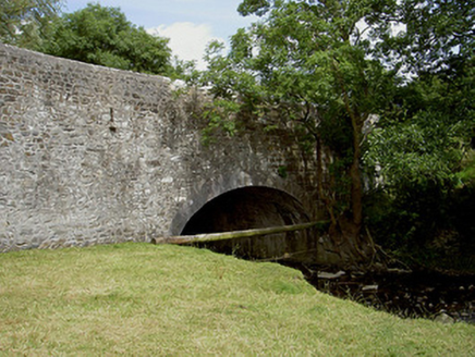 Wood Mill BridgeBridge · 1714 yd
Explorer Tom Wood Mill Bridge in Kellystown is where Vikings got lost looking for their ships because they were too busy admiring…
 NewgrangeHeritage attraction · 1.7 mi
Explorer Tom You reckon you are punctual? Try keeping an appointment for five thousand years. Newgrange is older than Stonehenge…
 Saint Patrick's Church GraveyardGraveyard · 3.1 mi
Explorer Tom Saint Patrick's Church Graveyard in County Meath is still seething because that one bishop refused to visit back in the…
 Beech ClumpWood · 3.6 mi
Explorer Tom Beech Clump was nearly sold off as a very expensive horse because someone mistook its silhouette for a noble steed in…
 Slane CastleCastle · 3.7 mi
Explorer Tom Slane Castle is secretly proud of the potato it grew in the garden last year, treating it like a royal heir. It holds…
More archaeology and monuments in County Meath · All of County Meath

What do you know about this place?Tap to add a comment or ask a question