What is recorded here
A large mound (max. diam. c. 29m at base, c. 11m at top, max. H 8.5m) surrounded by a large, wide, U-shaped fosse (Wth 3-7m, D c. 1.5m) with a large external bank at S, E and W (Wth c. 5m at W, H from base of fosse 2.5m, from ground level at W c. 1m). A bank at the N is modern and is partially built in the fosse. There are slight traces of a small earthen bank around the perimeter of the top of the mound. The motte is sited on a small ridge with its steepest side to the N. At the SE side the ridge may have been scarped to form a bailey. There is a large stone-lined causeway at the E but this is probably of fairly recent origin. (Wright 1758, bk I, pl. XII; Deane 1922, 99)
The above description is derived from both the published 'Archaeological Inventory of County Louth' (Dublin: Stationery Office, 1986) and the 'Archaeological Survey of County Louth' (Dublin: Stationery Office, 1991).
A large mound (max. diam. c. 29m at base, c. 11m at top, max. H 8.5m) surrounded by a large, wide, U-shaped fosse (Wth 3-7m, D c. 1.5m) with a large external bank at S, E and W (Wth c. 5m at W, H from base of fosse 2.5m, from ground level at W c. 1m). A bank at the N is modern and is partially built in the fosse. There are slight traces of a small earthen bank around the perimeter of the top of the mound. The…
From the National Monuments Service (Archaeological Survey of Ireland) record LH011-115013
The monument record does not grant public access. Check the route and ask the landowner before entering private land.
- What survives
- Recorded monument
Places near here
 Catholic Church of the Immaculate ConceptionChurch/chapel · 216 yd
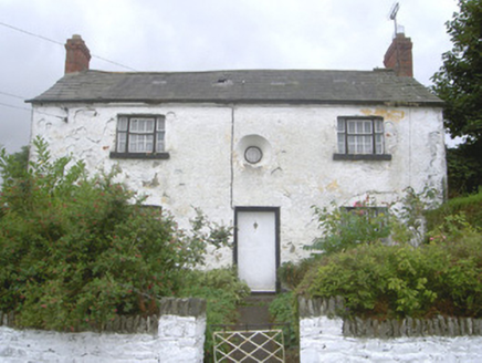 Old School HouseHouse · 263 yd
 Sycamore2.0 mi
 Thomastown CastleCastle, tower house · 2.1 mi
 European Yew2.1 mi
 IndicatedGraveyard · 2.8 mi
 Bawn in DarverBawn · 3.6 mi
 ClochafarmoreArchaeological place · 3.6 mi
 Dundalk CentralHeritage attraction · 6.5 mi
 Maid of ErinMemorial · 6.9 mi
 Louth County MuseumMuseum · 7.1 mi
 Ballsmill Amenity LandPicnic place · 8.1 mi
Pictures: Eric Jones, Geograph · Creative Commons Attribution-ShareAlike 2.0; National Inventory of Architectural Heritage; Christian Pirkl, Wikimedia Commons · CC BY-SA 3.0 at; Garry Dickinson, Geograph · CC BY-SA 2.0; Sitomon, Wikimedia Commons · CC BY-SA 2.0; Kieran Campbell, Geograph · Creative Commons Attribution-ShareAlike 2.0; John Donnellan, Wikimedia Commons · CC BY-SA 4.0; Eric Jones, Geograph · CC BY-SA 2.0; GilPe, Wikimedia Commons · CC BY-SA 4.0
More castles and forts in County Louth · All of County Louth
What do you know about this place?