
What is recorded here
In pasture, at W end of promontory, c. 220 E of Leamcon Castle (CO148-025001-). Horizontal working (L 6m) driven into base of low W-facing outcrop; flooded. Modern infilling of entrance; no associated spoil sediments of stone mauls. Possible exploratory level; documented 19th-century mining in this townland. Uncertain relationship to 1852 record of "Dainish Works" (Mining Journal 1852, 539) or to "Old Mans Working "recorded by geologist T. H. Duffy 1929. (O'Brien 1987)
The above description is derived from the published 'Archaeological Inventory of County Cork. Volume 1: West Cork' (Dublin: Stationery Office, 1992). In certain instances the entries have been revised and updated in the light of recent research.
Date of upload/revision: 14 January 2009
The monument record does not grant public access. Check the route and ask the landowner before entering private land.
- What survives
- Recorded monument
Places near here
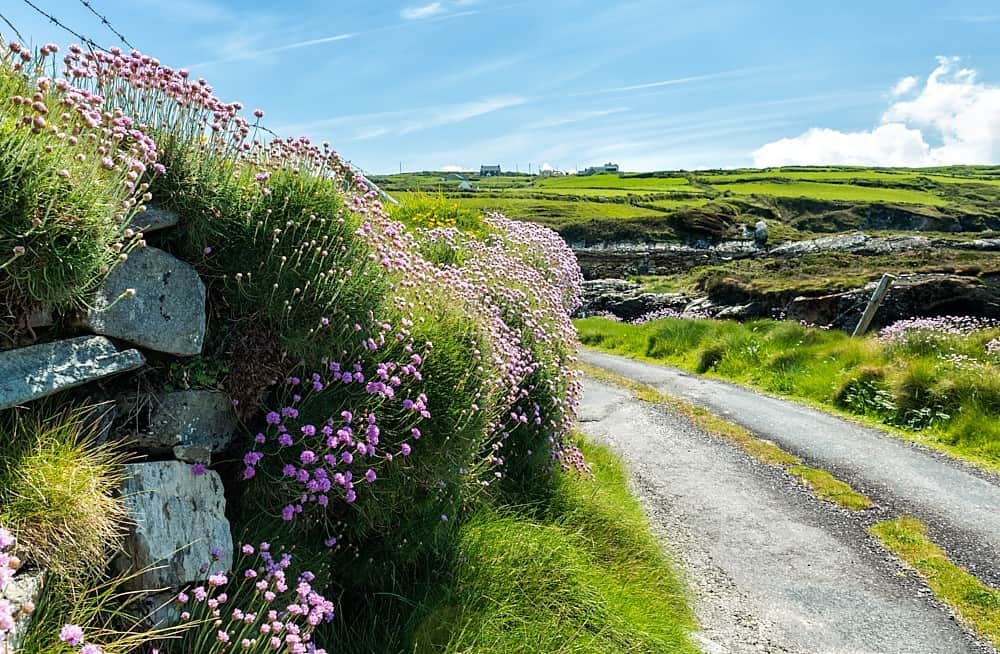 Castle (in Ruins)Castle, tower house · 283 yd
 Green IslandIslet · 514 yd
 ToberbreananHoly well · 574 yd
 Dick's IslandIslet · 959 yd
 Enclosure in LeamconEnclosure · 1285 yd
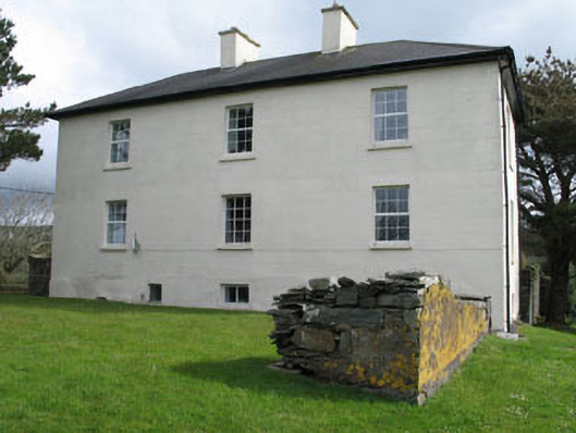 Leamcon Housecountry house · 1641 yd
 Country house in LeamconCountry house · 1676 yd
 AltarViewpoint · 1.7 mi
 Ballyrisode PointHeadland · 1.8 mi
 Ballyrisode WoodWood · 2.4 mi
 KnockaphucaMountain / peak · 3.5 mi
 Sailor's HillViewpoint · 3.5 mi
Other information
Photo: Credit not shown in the picture search · Rights wording not checked; contact us if this picture should be removed