
What is recorded here
Doonanore Castle stands as a four-storey tower-house on a narrow neck at Cape Clear Island, built for the O Driscoll clan until Crown forces took it in 1602. The sea now swallows the approach at high tide, forcing visitors to time their ascent with the moon rather than human convenience. Inside, collapsed corner stones and a garderobe chute projecting into the bay remind everyone that even proud defenders must answer to gravity and hunger.
Four storey tower-house and bawn on narrow neck of short promontory, NW shore of Cape Clear Island; now inaccessible at high tide. Rectangular tower (8m N-S; 7m E-W) with projection (L 2m; Wth 2.7m) at E end of S wall to accommodate garderobe chute. SE corner tower collapsed; much of ground floor filled with fallen rubble; doorway in centre E wall. Passage from N side doorway to mural stairs rising from NE to SE corner giving access to 1st, 2nd and 3rd floors.
Stone roof over 2nd floor comprises three pointed arches separated from each other and from side walls by series of overlapping slabs (some of which have fallen) (see CO146-001002-).
Poorly preserved bawn to SW (c. 30m E-W; c. 20m N-S). Entrance to S of tower-house; remains of D-shaped tower at NW corner; also ruins of buildings at SE corner; abutting E wall tower-house. Traces of smaller enclosure to E with ruins of building containing bread oven.
Castle of O Driscoll clan; surrendered to Crown forces in 1602 after short siege (Burke 1908, 115) (Westropp 1915, 253-4).
The above description is derived from the published 'Archaeological Inventory of County Cork. Volume 1: West Cork' (Dublin: Stationery Office, 1992). In certain instances the entries have been revised and updated in the light of recent research.
Date of upload/revision: 14 January 2009
Built in the 16th or 17th century by an unknown local Gaelic family, Doonanore Castle is remembered for its strategic location on Cape Clear Island, offering defensive advantages and maritime control in a region historically significant for trade and conflict.
The monument record does not grant public access. Check the route and ask the landowner before entering private land.
- What survives
- Recorded monument
Places near here
 O'Driscoll CastleCastle · 15 yd
 Earthwork in Baile Iarthach Thuaidh (cléire)Earthwork · 106 yd
 Promontory fortPromontory fort, coastal · 304 yd
 Templekieran (in Ruins)Church · 640 yd
 Wild Atlantic Way: CléireVisitor information · 667 yd
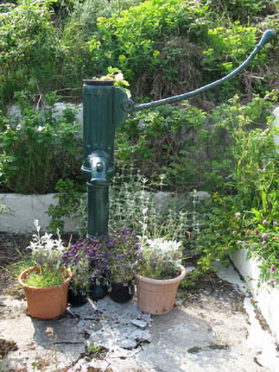 water pumpwater pump · 680 yd
 Trá CiaráinBeach / strand · 695 yd
 Oifig Fáilte Siopa CeirdVisitor information · 713 yd
 An Gleann LoopWalking route · 1340 yd
 CléireIsland · 1490 yd
 Cape Clear MuseumMuseum · 1.1 mi
 Cape ClearHeadland · 1.3 mi
Other information
Photo: Colin Park · CC BY-SA 2.0