What is recorded here
The following description is derived from both the published 'Archaeological Inventory of County Louth' (Dublin: Stationery Office, 1986) and the 'Archaeological Survey of County Louth' (Dublin: Stationery Office, 1991). In certain instances the entries have been revised and updated in the light of recent research.
Date of upload/revision: 17 July 2007
Situated on low, natural ridge. Roughly circular earth and stone mound (max. dims. 26.5m NE-SW, 20m E-W, H 1.8-2.9m). OS Letters refer to site as 'Lios Milibin' (CLAJ 1923, 203).
The monument record does not grant public access. Check the route and ask the landowner before entering private land.
- What survives
- Recorded monument
Places near here
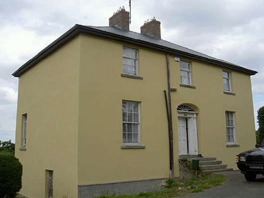 Glebe Houserectory/glebe/vicarage/curate's house · 812 yd
 Ecclesiastical enclosure in StabannanEcclesiastical enclosure · 823 yd
 St. Nicholass ChurchChurch · 874 yd
 Graveyard in Richardstown (ardee By., Richardstown Par.)Graveyard · 953 yd
 CastleCastle, unclassified · 987 yd
 Rocjardstown CastleCastle, tower house · 998 yd
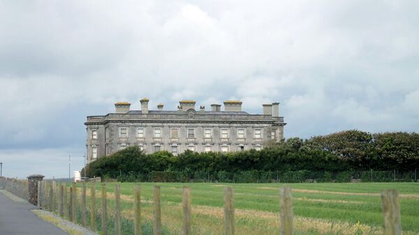 Enclosure in Richardstown (ardee By., Richardstown Par.)Enclosure · 1011 yd
 Monterey CypressMonterey Cypress · 1012 yd
 Graveyard in StickillinGraveyard · 1.8 mi
 Rabbit BurrowWood · 2.6 mi
 Drummeenagh HillMountain / peak · 3.9 mi
 Tullydonnell HillMountain / peak · 4.9 mi