
What is recorded here
Detached former corn mill complex, built c.1840, comprising attached three-bay three-storey with attic former mill with lean-to extension to rear (north), and attached three-bay two-storey with dormer attic former miller’s house to side (east), built c.1850, having recent lean-to extension to rear. Replacement timber water wheel to side (west) elevation of former mill, having original cast-iron spokes with associated millrace in-situ. Range of three former grain stores attached to eastern end of front (south) elevation of former miller’s house, built c.1850, comprising single-bay two-storey building to north end, three-bay two-storey building and four-bay two-storey with dormer attic building to southern end of range. Recent extensions to rear (east) elevations. Attached four-bay two-storey former grain store to south-west of former mill, built c.1850, having suspended corrugated-iron corridor to first floor of side (north) elevation over rubble stone curtain wall. Recent garage extension to side (south) and lean-to corrugated-iron canopy to front (east) also attached to front elevation of mill. Closed 1929 and currently disused. Pitched slate roof to mill, having dressed stone eaves course. Hipped artificial slate roof to former miller’s house, having rendered chimneystack and rooflights. Rendered eaves course to front (south) and side (east) elevations, with dressed white-washed stone eaves course to rear (north) elevation. Pitched slate and artificial slate roofs to south-eastern range, with rendered and dressed stone eaves courses. Cast-iron rainwater goods throughout with occasional uPVC replacements. Rubble stone walls to former mill, white-washed to ground floor of front elevation. Rendered wall to side (east) elevation. Lined-and-ruled rendered wall to front and side (east) elevations of former miller’s house, white-washed rubble stone wall to rear elevation. Rubble stone walls to south-western former grain store, white-washed to front (east) elevation with roughcast rendered gable to side (south) elevation. Blocked former openings of tailrace to side (south, north) elevations of south-west former grain store having dressed stone voussoirs. Rendered walls throughout south-eastern range. Square-headed window openings throughout complex, having limestone sills to former mill and to rear elevation of miller’s house, rendered stone sills elsewhere. Limestone lintels and red brick voussoirs to former mill window openings, having two, four and six-pane timber casement windows to ground and first floors, remains of timber shutters and frames to second floor. Replacement uPVC casement windows to former miller’s house. Timber battened shutters throughout south-eastern range with occasional uPVC casement windows. Square-headed loading bay openings to first floor of front (east) elevation to south-western former grain store and south-east elevation of corridor block, having battened timber shutters. Camber-headed door opening with red brick voussoirs to front elevation of former mill, having timber battened door. Square-headed door openings elsewhere throughout complex being recessed to south-east range with battened timber doors. Replacement glazed timber door to former miller’s house. Recessed square-headed door opening to front (east) elevation of south-western former grain store, having timber battened door. Square-headed carriageway opening with rendered cast-iron lintel and banded cylindrical cast-iron post to front elevation of southern building of south-east range, having double-leaf timber battened doors. Rendered boundary wall with square-profile gate piers. Millrace to west with recent metal platform over. Millrace flowing north running beneath south-western former grain store.
This former mill is an imposing landmark in the small village of Oldchapel. An oat mill is marked on the site on the first edition Ordnance Survey map of 1841, and that mill was apparently operated by the Crowley family from 1839 until its closure in 1929. Surrounding related buildings, including a miller’s house and grain stores, illustrate the economic and social importance of this complex in the past. It has retained much of its original fabric and many historic features, the water wheel and functioning mill race being of particular technical interest.
From the Buildings of Ireland (National Inventory of Architectural Heritage) record 20911022
This does not grant access. Most recorded buildings are privately owned; view them only from public ground unless the owner allows entry.
Places near here
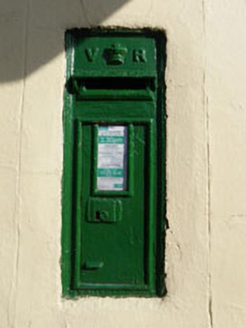 post box45 yd
 worker's house89 yd
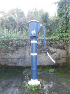 water pump128 yd
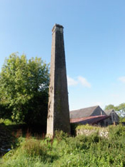 Roundhill MillsChimney · 146 yd
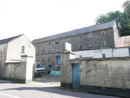 Roundhill MillsMill (water) · 154 yd
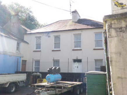 Roundhill MillsMiller's house · 177 yd
 Bernard's BridgeBridge · 334 yd
 bridge351 yd
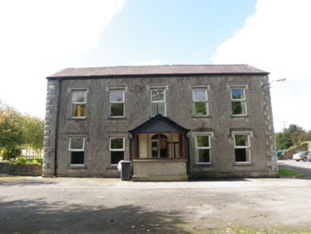 Roundhill HouseHouse · 372 yd
 Castle BernardRuins · 814 yd
 Kilpadder Burial Ground (Site of)Burial ground · 4.6 mi
 English holly5.1 mi
Pictures: National Inventory of Architectural Heritage; Xx78900, Wikimedia Commons · CC BY-SA 4.0; Mike Searle, Geograph · CC BY-SA 2.0; Neville Goodman, Geograph · Creative Commons Attribution-ShareAlike 2.0; Maker named on the Wikimedia Commons picture page · Public domain
More historic places in County Cork · All of County Cork
What do you know about this place?