
What is recorded here
Double-arch stone road bridge, dated 1823, spanning Bridewell River. Segmental-headed arches having dressed limestone voussoirs and rendered soffits springing from rubble stone piers with V-cutwaters to west elevation. Surmounted by rubble stone spandrels and parapet with dressed solider stone copings. Rendered stone name plaque, reading “Bernard’s Bridge 1823” to east parapet wall.
Originally built to accommodate a driveway leading to Castle Bernard, this bridge continues to be used to provide access to a recent housing development and remains in excellent condition. Its well-executed stonework demonstrates the high level of skill possessed by those responsible for its construction.
From the Buildings of Ireland (National Inventory of Architectural Heritage) record 20911020
This does not grant access. Most recorded buildings are privately owned; view them only from public ground unless the owner allows entry.
Places near here
 bridge22 yd
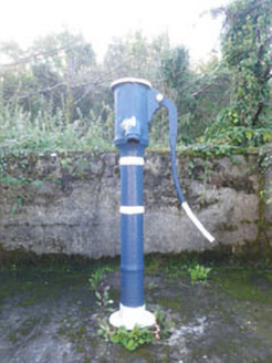 water pump235 yd
 worker's house270 yd
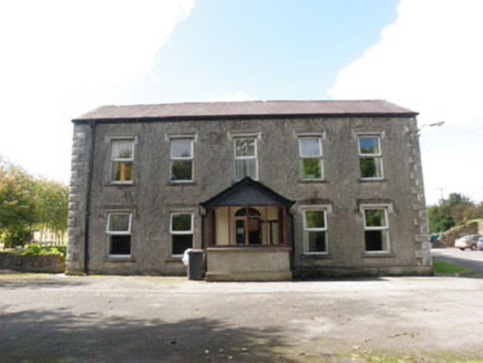 Roundhill HouseHouse · 317 yd
 mill (water)334 yd
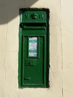 post box351 yd
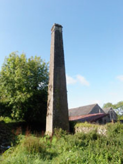 Roundhill MillsChimney · 402 yd
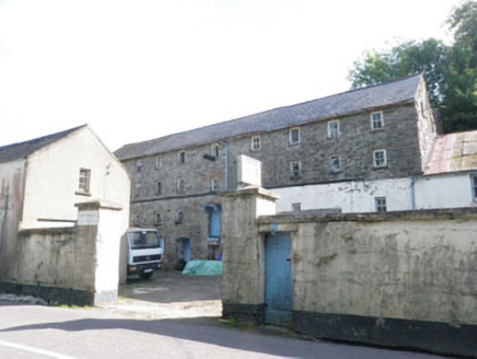 Roundhill MillsMill (water) · 432 yd
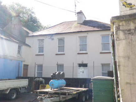 Roundhill MillsMiller's house · 460 yd
 Castle BernardRuins · 824 yd
 Kilpadder Burial Ground (Site of)Burial ground · 4.4 mi
 English holly5.3 mi
Pictures: National Inventory of Architectural Heritage; Mike Searle, Geograph · CC BY-SA 2.0; Neville Goodman, Geograph · Creative Commons Attribution-ShareAlike 2.0; Maker named on the Wikimedia Commons picture page · Public domain
More historic places in County Cork · All of County Cork
What do you know about this place?