What is recorded here
The terrier accompanying the Down Survey (1655-6) parish map of Blackrath and St Martins (NLI MS720) mentions, 'upon the p[ar]cell of Ground of the Earle of Ormonds a Mill out of repaire'. The parcel of ground, listed as '10' in the terrier, is indicated on the barony map of Gowran (Hibernia Regnum, courtesy of Trinity College Dublin) and on the parish map of Blackrath and St Martins as a small roughly rectangular 12 acre plot in Maddockstown townland. The parcel is not depicted extending as far as the River Nore and it is possible that the mill referred to may have been a windmill, possibly on a hillock in the SW portion of the townland. The precise location of the mill is unknown.
The monument record does not grant public access. Check the route and ask the landowner before entering private land.
- What survives
- Recorded monument
Places near here
 Enclosure in MaddockstownEnclosure · 823 yd
 Font in MaddockstownFont · 1222 yd
 Prims Cottagemiller's house · 1310 yd
 mill (water)mill (water) · 1337 yd
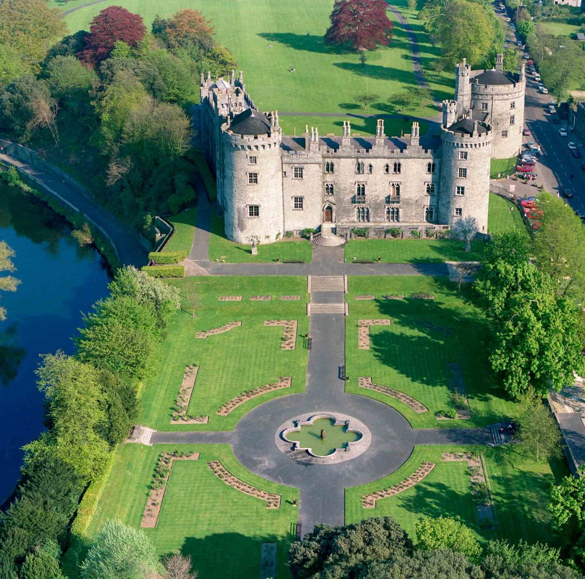 Site of Lavistown CastleCastle, unclassified · 1589 yd
 IndicatedCastle, tower house · 1693 yd
 Dunbell Big RingfortWood · 1.4 mi
 Kilkenny AirsoftHeritage attraction · 1.7 mi
 Saint Molagga's WellSpring · 2.1 mi
 HawthornHawthorn · 2.6 mi
 Time CapsuleMemorial · 2.6 mi
 St. Mogarra’s WellSpring · 3.1 mi