What is recorded here
Not marked on the 1841 or 1906 editions of the OS 6-inch maps. Reference to a water-mill here in 1601 (Carrigan 1905, vol. 2, 90). No visible surface remains.
Described by Carrigan as 'One small field south of the castle stood the Priory mill, known as the Black Mill. Its modern successor was a fulling mill, by the present proprietors, till not many years ago' (Carrigan 1905, vol. 2, 239).
The above description is derived from the published 'Archaeological Inventory of County Laois' (Dublin Stationery Office, 1995) compiled by P. David Sweetman, Olive Alcock and Bernie Moran. In certain instances the entries have been revised and updated in the light of recent research.
Date of upload: 17 December 2007
The monument record does not grant public access. Check the route and ask the landowner before entering private land.
- What survives
- Recorded monument
Places near here
 Castle and PrioryCastle, unclassified · 343 yd
 Priory (in Ruins)Religious house, Augustinian canons · 344 yd
 Round tower in AghmacartRound tower · 346 yd
 Aghmacart Churchchurch/chapel · 374 yd
 Grave YardGraveyard · 376 yd
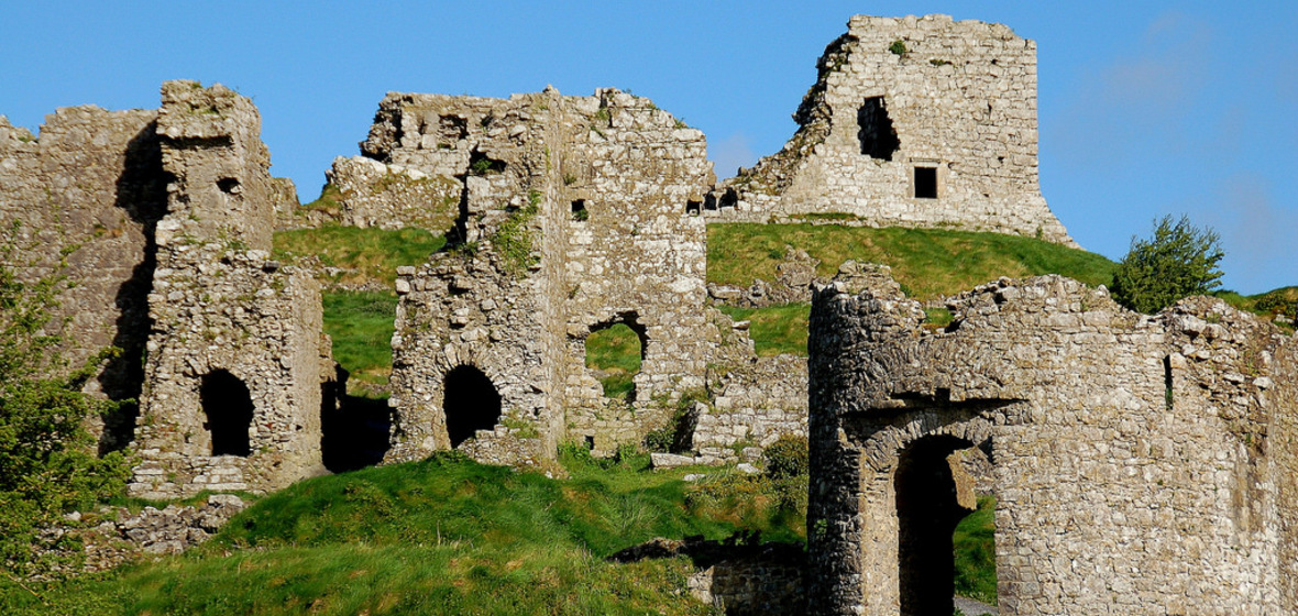 Castle (in Ruins)Castle, tower house · 569 yd
 Big WoodWood · 2.2 mi
 Street fieldArchaeological place · 2.5 mi
 Cnoc SeanrathaMemorial · 3.8 mi
 DelaneyMemorial · 5.4 mi
 Anker's IslandIsland · 6.4 mi
 Bawn in AghmacartBawn · 571 yd