
What is recorded here
In a low lying area. Earthworks visible on aerial photograph (CUCAP, AYP 5) represent the bawn of a tower house (LA034-019002-). Evidence of the bawn (dims. 22m N-S, 27m E-W) to the S and N defined by a low bank (Wth c. 4m) and outer fosse.
Compiled by: Caimin O'Brien
Date of upload: 17 December 2007
A local castle; wider significance not recorded.
The monument record does not grant public access. Check the route and ask the landowner before entering private land.
- What survives
- Recorded monument
Places near here
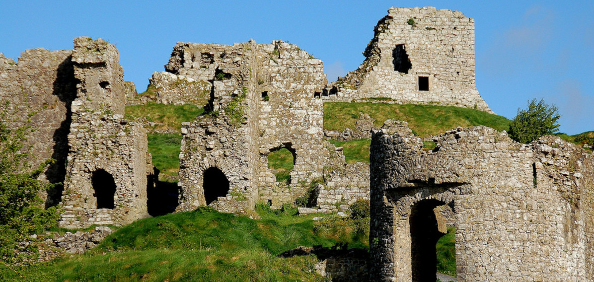 Castle (in Ruins)Castle, tower house · 44 yd
 Grave YardGraveyard · 203 yd
 Aghmacart Churchchurch/chapel · 214 yd
 Castle and PrioryCastle, unclassified · 238 yd
 Priory (in Ruins)Religious house, Augustinian canons · 242 yd
 Round tower in AghmacartRound tower · 250 yd
 Street fieldArchaeological place · 2.2 mi
 Big WoodWood · 2.5 mi
 Cnoc SeanrathaMemorial · 3.7 mi
 DelaneyMemorial · 5.2 mi
 Anker's IslandIsland · 6.4 mi
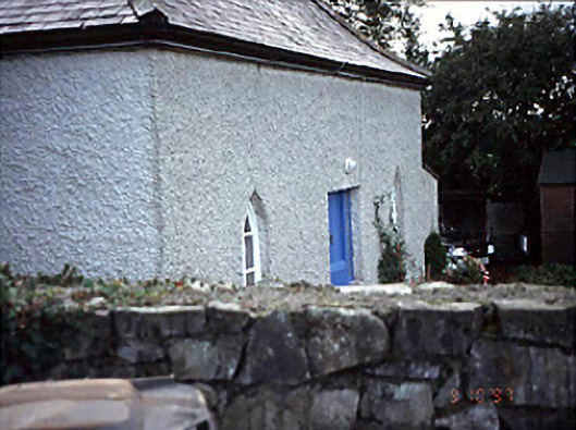 Belmont Househouse · 756 yd
Other information
Photo: Credit not shown in the picture search · Rights wording not checked; contact us if this picture should be removed