
What is recorded here
On S bank of stream flowing NW to join River Deel. Fragmentary remains of rectangular structure survive in area between stream to N and steep rocky face to S; entire area covered by mature deciduous trees. West end of rectangular building (6m N-S) whose walls are reduced to foundation level except for short section (L c. 2m) of N wall which stands to c. 1.9m. North wall traceable for c. 5m; S wall traceable for 5.5m to where a square brick-built structure (L 2m) has been built on its line; this contains a hydraulic ram which supplied water to Nantinan House until c. 1970. On E side of brick structure, and c. 1.6m from it, is another section of low walling (L c. 2m; H c. 4m) which appears to be continuation of S wall of structure to W. Entire area strewn with loose rubble stone.
Compiled by: Denis Power
Date of upload: 26 August 2011
The monument record does not grant public access. Check the route and ask the landowner before entering private land.
- What survives
- Recorded monument
Places near here
 Saint James's Church (Nantinan)church/chapel · 249 yd
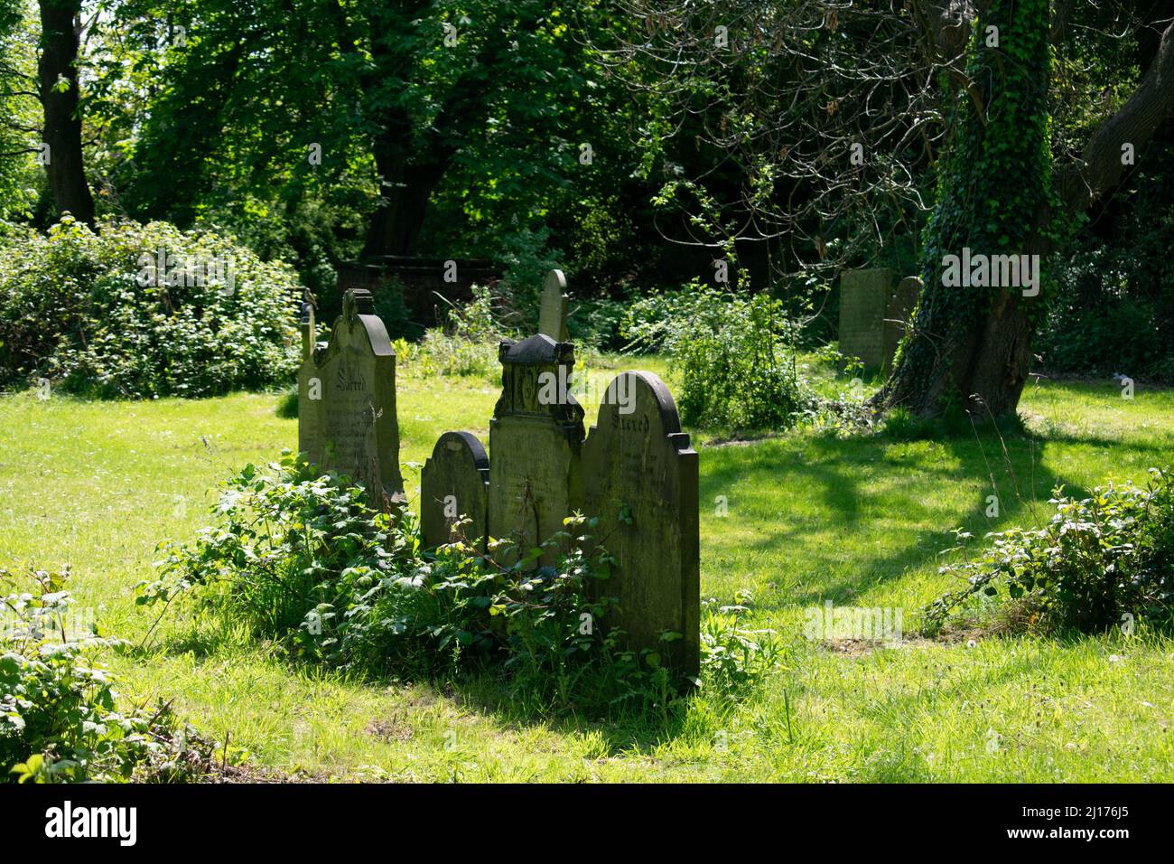 Grave YardGraveyard · 263 yd
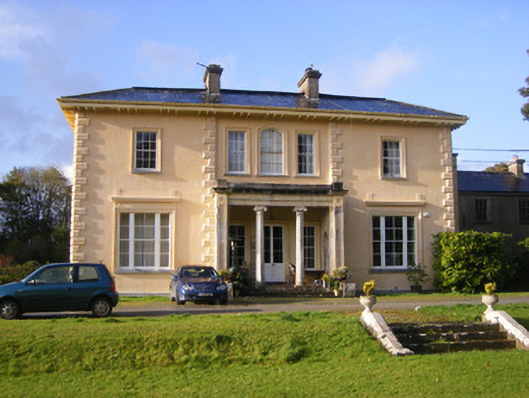 Nantinan Housecountry house · 398 yd
 St. James WellHoly well · 471 yd
 Milltown Castle (in ruins)Castle, tower house · 1719 yd
 Bawn in StonevilleBawn · 1.3 mi
 Askeaton CastleHeritage attraction · 2.8 mi
 Flat cemetery in CroaghFlat cemetery · 3.2 mi
 TobernablahySpring · 3.2 mi
 St. Kieran's WellSpring · 3.9 mi
 Little HeavenHeritage attraction · 4.0 mi
 Holly IslandIslet · 4.4 mi
Other information
Photo: Credit not shown in the picture search · Rights wording not checked; contact us if this picture should be removed