What is recorded here
Thirty-four metres of woven earth and stone still mark the Ballybaun fort, though cattle have worn a gap through the western bank and hedges have strangled the eastern edge. Inside the pasture, a shallow rectangular hollow waits southeast of the centre, perhaps the ghost of a timber hall or merely a scar left by forgotten hands. The fort has surrendered its sharp boundaries to grass and grazing, yet its circular memory remains written across the gentle slope.
In pasture, on gentle W-facing slope. Circular area (diam. 34m) enclosed by earth-and-stone bank (int. H 0.75m; ext. H 0.5m). Enclosure crossed by field boundary on N-S axis, acting as chord across E edge of interior, c. 6.5m W of enclosing bank. Bank is denuded by cattle accessing interior at W, and is masked by dense overgrowth beyond field boundary to E. Level interior, under pasture, contains roughly rectangular depression (4.2m N-S; 5m E-W; D 0.4m) SE of centre. Small clearance cairn against external bank face at WSW.
Compiled by: Denis Power
Date of upload: 26 August 2011
The monument record does not grant public access. Check the route and ask the landowner before entering private land.
- What survives
- Recorded monument
Places near here
 The Gleberectory/glebe/vicarage/curate's house · 923 yd
 Enclosure in BoolaglassEnclosure · 1300 yd
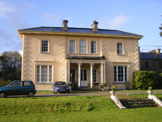 Nantinan Housecountry house · 1460 yd
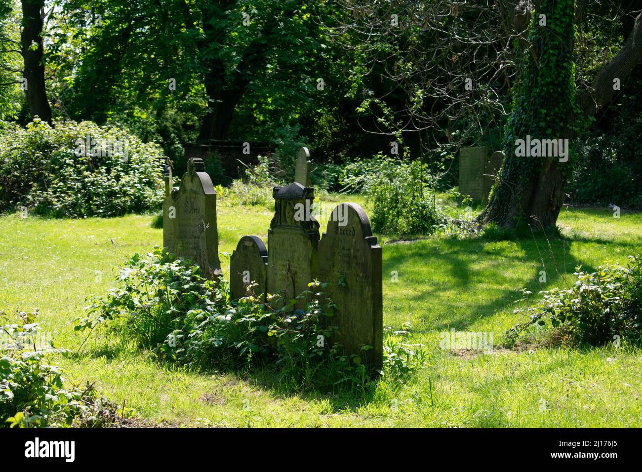 Grave YardGraveyard · 1.1 mi
 Milltown Castle (in ruins)Castle, tower house · 1.3 mi
 Askeaton CastleHeritage attraction · 2.2 mi
 Cappagh CastleCastle · 2.2 mi
 Little HeavenHeritage attraction · 3.1 mi
 Flat cemetery in CroaghFlat cemetery · 3.1 mi
 European YewEuropean Yew · 3.6 mi
 Holly IslandIslet · 4.1 mi
 TobernablahySpring · 4.2 mi