What is recorded here
The precise location of this corn mill within the townland of Raharney has not been identified. The terrier of the 1655 Down Survey map of Farbill barony recorded that there was in Rathfarne (Raharney) 'one corne mill and a tuck mill (WM021-017----)' (NLI, MS 723-4).
Compiled by: Caimin O'Brien
Date of upload: 22 July 2015
The monument record does not grant public access. Check the route and ask the landowner before entering private land.
- What survives
- Recorded monument
Places near here
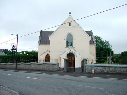 Saint Brigid's Catholic Churchchurch/chapel · 518 yd
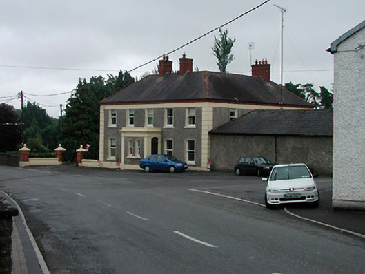 Riverview Househouse · 579 yd
 IndicatedFairy fort / earthen ringfort · 604 yd
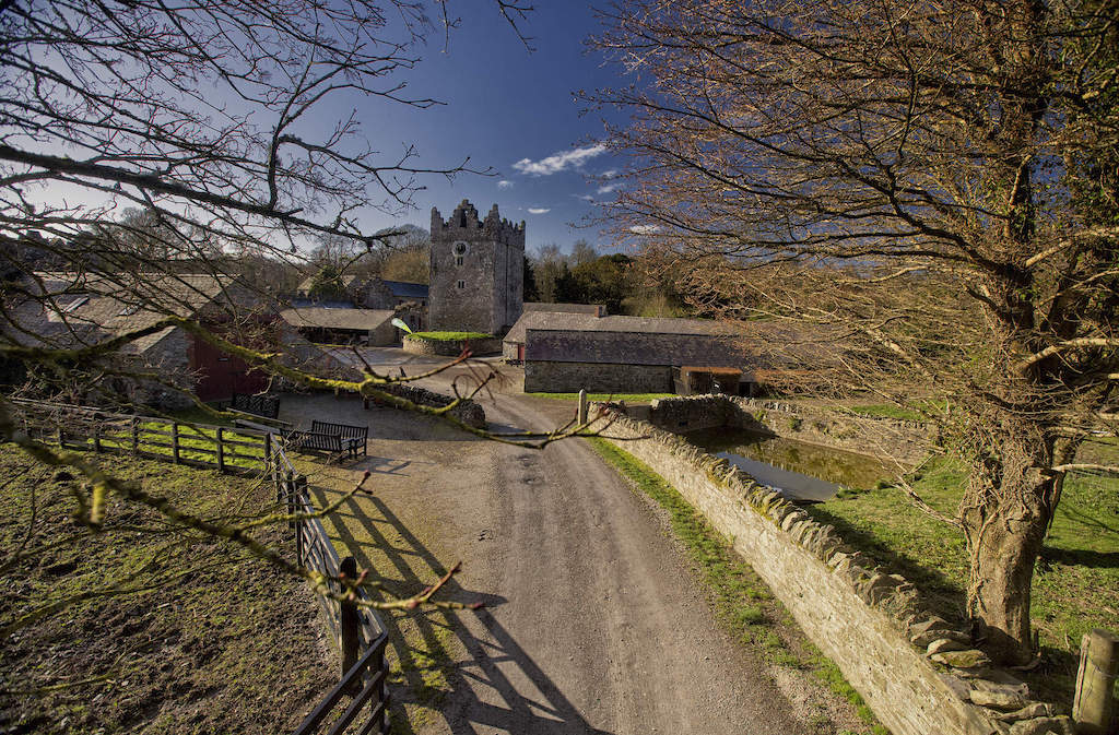 CastleCastle, unclassified · 1506 yd
 Enclosure in Joristown LowerEnclosure · 1.1 mi
 Rathwire Moat & CastleCastle, motte and bailey · 2.0 mi
 ScregganWood · 3.3 mi
 GinkgoGinkgo · 4.2 mi
 Croppies' GraveMemorial · 7.2 mi
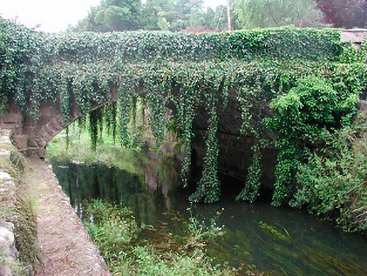 bridgebridge · 623 yd
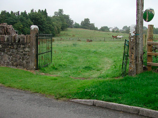 gates/railings/wallsgates/railings/walls · 779 yd
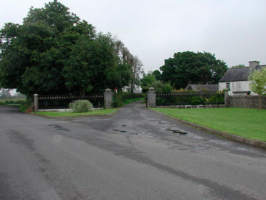 Grange More Housegates/railings/walls · 813 yd