What is recorded here
The precise location of this corn mill within the townland of Mill Land has not been identified. The terrier of the 1659 Down Survey map of Farbill barony recorded that there was in Rathwire 'one corne mill' (NLI, MS 723-4).
Compiled by: Caimin O'Brien
Date of upload: 22 July 2015
The monument record does not grant public access. Check the route and ask the landowner before entering private land.
- What survives
- Recorded monument
Places near here
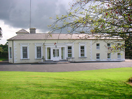 Saint Camillushouse · 356 yd
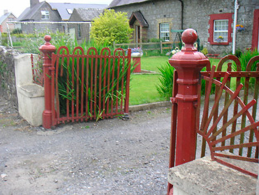 gates/railings/wallsgates/railings/walls · 433 yd
 Rathwire Moat & CastleCastle, motte and bailey · 509 yd
 CrossCross, Wayside cross · 760 yd
 TobermíonadHoly well · 902 yd
 CastleCastle, unclassified · 1293 yd
 GinkgoGinkgo · 4.5 mi
 ScregganWood · 5.6 mi
 Croppies' GraveMemorial · 7.9 mi
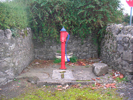 water pumpwater pump · 571 yd
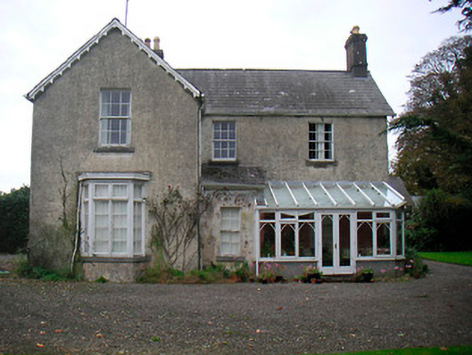 The Mansemanse · 771 yd
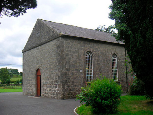 Killucan Presbyterian Churchchurch/chapel · 802 yd