What is recorded here
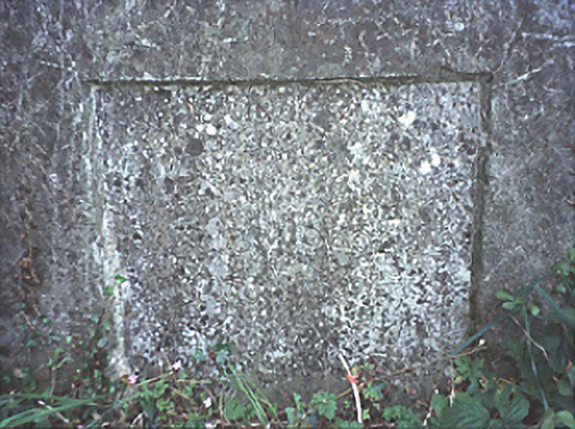
Milestone or milepost in Blackford is a county boundary stone fixed into a wall since 1818. Whatever neighbourly argument prompted that degree of commitment, ‘we’ll move it a foot and say no more’ was clearly off the table.
Wall-mounted limestone monolithic county boundary stone, dated 1818.
From the Buildings of Ireland (National Inventory of Architectural Heritage) record 12801938
This does not grant access. Most recorded buildings are privately owned; view them only from public ground unless the owner allows entry.
Places near here
 Pedunculate Oak927 ydHachured, Dandys HillFairy fort / earthen ringfort · 1148 yd
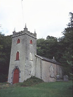 Saint Peter's Church (Curraclone)Church/chapel · 1507 ydPedunculate Oak1698 yd
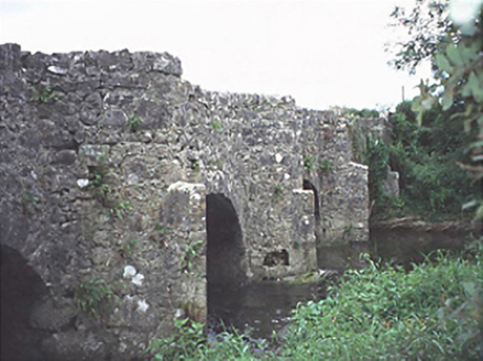 bridge1.2 mi
 Oughaval Wood MapVisitor information · 1.8 mi
 CemeteryGraveyard · 2.0 mi
 Dm PenderMemorial · 2.0 mi
.jpg/250px-St_Brigid's_Well_(30653).jpg "Photo: A.-K. D., Wikimedia Commons · CC BY-SA 4.0") OutlinedHoly well · 2.1 mi
OutlinedHoly well · 2.1 mi_-_geograph.org.uk_-_5029029.jpg/250px-Castles_of_Leinster,_Castle_Reban,_Co._Kildare_(1)_-_geograph.org.uk_-_5029029.jpg "Photo: Mike Searle, Wikimedia Commons · CC BY-SA 2.0") Reban CastleCastle, Anglo-Norman masonry castle · 2.4 mi
Reban CastleCastle, Anglo-Norman masonry castle · 2.4 mi Ballyadams CastleCastle · 3.5 mi
 Town HallMuseum · 4.6 mi
Pictures: Algirdas at Lithuanian Wikipedia, Wikimedia Commons · Public domain; National Inventory of Architectural Heritage; Graham Horn, Geograph · CC BY-SA 2.0; A.-K. D., Wikimedia Commons · CC BY-SA 4.0; Mike Searle, Wikimedia Commons · CC BY-SA 2.0; Mgtmquinn, Wikimedia Commons · CC BY-SA 4.0
More historic places in County Laois · All of County Laois
What do you know about this place?