What is recorded here
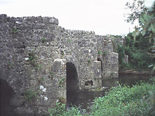
The Bridge in Ballykilcavan has little U-shaped recesses above its pointed river piers: grand accommodation for stepping aside. You can let a cart pass while looking like a duke inspecting his river, rather than a man who lost an argument with a horse.
Five-arch road bridge over river, dated 1713, with triangular cut-waters having U-shaped recesses over to one side.
From the Buildings of Ireland (National Inventory of Architectural Heritage) record 12801409
This does not grant access. Most recorded buildings are privately owned; view them only from public ground unless the owner allows entry.
Places near here
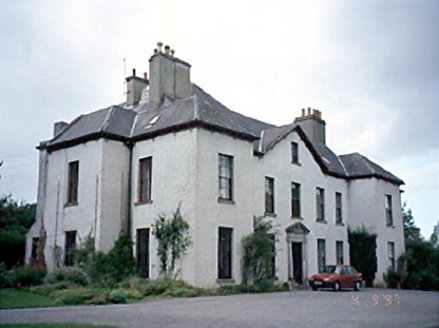 Ballykilcavan HouseHouse · 472 yd
 Black Walnut478 yd
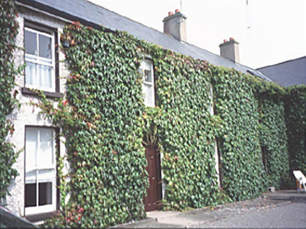 Inch HouseHouse · 1028 yd
 Pedunculate Oak1458 yd
 CemeteryGraveyard · 1.3 mi
 Oughaval Wood MapVisitor information · 1.4 mi
 Dm PenderMemorial · 2.8 mi
.jpg/250px-St_Brigid's_Well_(30653).jpg "Photo: A.-K. D., Wikimedia Commons · CC BY-SA 4.0") OutlinedHoly well · 2.8 mi
OutlinedHoly well · 2.8 mi_-_geograph.org.uk_-_5029029.jpg/250px-Castles_of_Leinster,_Castle_Reban,_Co._Kildare_(1)_-_geograph.org.uk_-_5029029.jpg "Photo: Mike Searle, Wikimedia Commons · CC BY-SA 2.0") Reban CastleCastle, Anglo-Norman masonry castle · 3.2 mi
Reban CastleCastle, Anglo-Norman masonry castle · 3.2 mi Aghnahily RingfortArchaeological place · 3.9 mi
 Rock of Dunamase InformationVisitor information · 4.0 mi
 Rock of DunamaseCastle · 4.1 mi
Pictures: National Inventory of Architectural Heritage; R. A. Nonenmacher, Wikimedia Commons · CC BY-SA 4.0; Algirdas at Lithuanian Wikipedia, Wikimedia Commons · Public domain; A.-K. D., Wikimedia Commons · CC BY-SA 4.0; Graham Horn, Geograph · CC BY-SA 2.0; Mike Searle, Wikimedia Commons · CC BY-SA 2.0; David Purchase, Wikimedia Commons · CC BY-SA 2.0; Darrin Antrobus, Geograph · CC BY-SA 2.0; Meinirland.eu, Wikimedia Commons · CC BY-SA 3.0
More historic places in County Laois · All of County Laois
What do you know about this place?