What is recorded here
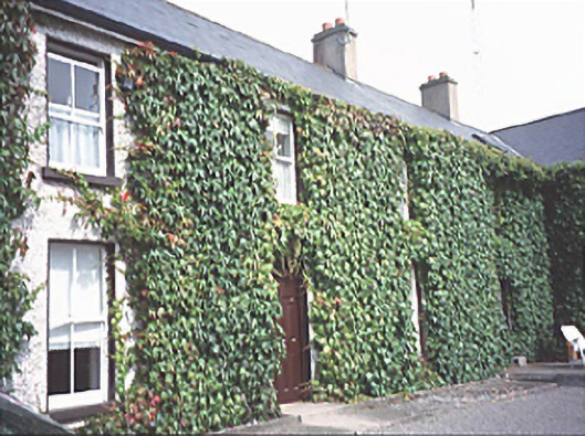
Inch House in Inch was given a whole extra two-storey range in the 1980s. Give it an inch and it takes another house. The stables must be keeping very quiet.
Detached four-bay two-storey house, c. 1830. Extended, c. 1985, comprising two-storey range. Stable complex to site.
From the Buildings of Ireland (National Inventory of Architectural Heritage) record 12801416
This does not grant access. Most recorded buildings are privately owned; view them only from public ground unless the owner allows entry.
Places near here
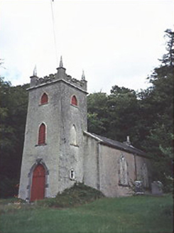 Saint Peter's Church (Curraclone)Church/chapel · 835 yd
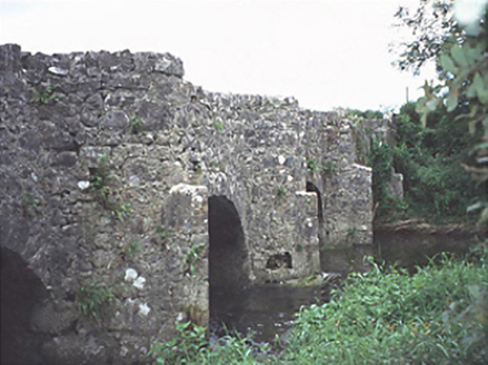 bridge1028 yd
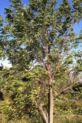 Black Walnut1505 yd
 Pedunculate Oak1.3 miBeech Way WalkWalking route · 1.8 mi
 CemeteryGraveyard · 1.8 mi
 Oughaval Wood MapVisitor information · 2.0 mi
_-_geograph.org.uk_-_5029029.jpg/250px-Castles_of_Leinster,_Castle_Reban,_Co._Kildare_(1)_-_geograph.org.uk_-_5029029.jpg "Photo: Mike Searle, Wikimedia Commons · CC BY-SA 2.0") Reban CastleCastle, Anglo-Norman masonry castle · 2.9 mi
Reban CastleCastle, Anglo-Norman masonry castle · 2.9 mi Dm PenderMemorial · 3.2 mi
.jpg/250px-St_Brigid's_Well_(30653).jpg "Photo: A.-K. D., Wikimedia Commons · CC BY-SA 4.0") OutlinedHoly well · 3.2 mi
OutlinedHoly well · 3.2 mi Aghnahily RingfortArchaeological place · 4.2 mi
 Ballyadams CastleCastle · 4.8 mi
Pictures: National Inventory of Architectural Heritage; R. A. Nonenmacher, Wikimedia Commons · CC BY-SA 4.0; Algirdas at Lithuanian Wikipedia, Wikimedia Commons · Public domain; A.-K. D., Wikimedia Commons · CC BY-SA 4.0; Graham Horn, Geograph · CC BY-SA 2.0; Mike Searle, Wikimedia Commons · CC BY-SA 2.0; David Purchase, Wikimedia Commons · CC BY-SA 2.0
More historic places in County Laois · All of County Laois
What do you know about this place?