What is recorded here
Situated in a N-facing vertical earth and rock face, overlooking rocky foreshore to N. Midden extends in varying concentrations along the total length of the face from a towerhouse (SL011-020---) at E to the outflow of the Easky River at W. The main concentration of midden material is at the mouth of the Easky River. Here the midden is visible as a band (L 4m E-W; T 0.08m) of periwinkle and mussel shells within a band of darker soil, 0.3m below the top of the vertical face (total H of face 2.2m).
Compiled by: Mark Keegan
Date of upload: 19 January 2011
The monument record does not grant public access. Check the route and ask the landowner before entering private land.
- What survives
- Recorded monument
Places near here
 Roslee CastleCastle, tower house · 62 yd
 Wild Atlantic Way: Easky PierVisitor information · 131 yd
 Bawn in CastletownBawn · 221 yd
 Bunowna PointHeadland · 306 yd
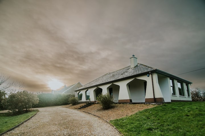 Enclosure in BunownaEnclosure · 598 yd
 Field system in BunownaField system · 664 yd
 AbbeyChurch · 756 yd
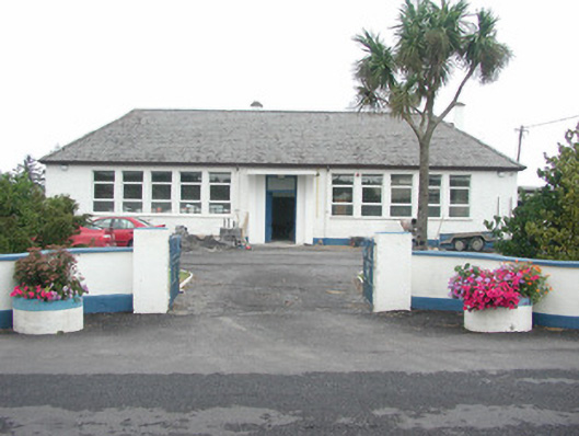 Easky Vocational Schoolschool · 759 yd
 Jim Smith MemorialMemorial · 1141 yd
 Cooanmore PointHeadland · 1.1 mi
 Wild Atlantic Way: Inishcrone PierVisitor information · 7.5 mi
 Grave of the Black PigArchaeological place · 8.3 mi