What is recorded here
Mertonhall hides an old bawne somewhere beneath its flat pasture, though no wall remains visible today. John McEgan held the castle and lands in 1640 when the place still answered to Cloghustone, suggesting a stone tower once stood near the Drumroe boundary. The missing castle may still sleep beneath the grass, waiting for someone patient enough to listen for its shape.
Situated on flat pasture with good views in all directions. Up until the 18th century the townland of Mertonhall was known as 'Cloghustone/Cloghustuny' (Simington 1934, 280, 285, 286-7). In 1640 the castle and lands were in the possession of John McEgan of Cloghustone, the castle was described as an 'old bawne' (TN010-093002-) in the Civil Survey (1654-6) (Simington 1934, 286). A tower house type castle is depicted standing close to the townland boundary with Drumroe on the 1654-7 Down Survey map of Modreeny parish (NLI MS 721). The country house Merton Hall is roughly located in the area where the castle is depicted on the Down Survey map. No visible remains of any medieval castle or walls in the vicinity of Merton Hall. It is possible that the castle was located somewhere else within the townland of Mertonhall. The precise location of this castle within the townland has not been identified.
The above description is derived from 'The Archaeological Inventory of County Tipperary. Vol. 1 - North Tipperary' compiled by Jean Farrelly and Caimin O'Brien (Dublin: Stationery Office, 2002). In certain instances the entries have been revised and updated in the light of recent research.
Compiled and revised by: Caimin O'Brien
Date of revised upload: 7 July 2016
The castle at Merton Hall was held in 1640 by the Simington family, as recorded in local historical sources. It is remembered for its association with the Simingtons, a prominent local family, and for its historical name 'Cloghustone,' which appears in early 20th-century research.
The monument record does not grant public access. Check the route and ask the landowner before entering private land.
- What survives
- Recorded monument
Places near here
 Sweathouse in Mertonhall,cloghkeatingSweathouse · 303 yd
 Bawn in CloghkeatingBawn · 860 yd
 Cloghkeating Castlehouse · 891 yd
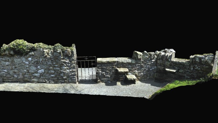 Enclosure in Drumroe (modreeny Par.)Enclosure · 962 yd
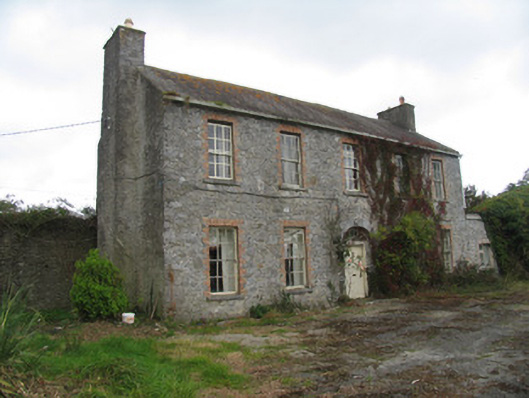 Ballyrickard Househouse · 1470 yd
 Castle (in ruins)Castle, hall-house · 1.6 mi
 Knockanacree WoodForest · 2.5 mi
 Ballycapple WoodForest · 2.7 mi
 MacDonagh HouseMemorial · 2.8 mi
 Thomas MacDonagh Heritage CentreMuseum · 2.8 mi
 James Devaney MemorialMemorial · 4.8 mi
 Knigh HillMountain / peak · 5.6 mi