What is recorded here
The Ordnance Survey Letters (O' Flanagan 1928, 131) noted that there was 'a broken Cahir on the top of Kilmacoo Hill, another on the the townland of Straghmore.'
Compiled by: Claire Breen
Date of upload: 06 September 2013
The monument record does not grant public access. Check the route and ask the landowner before entering private land.
- What survives
- Recorded monument
Places near here
 Enclosure in SroughmoreEnclosure · 342 yd
 IndicatedFairy fort / earthen ringfort · 560 yd
 Connary Smelting TowerRuins · 857 yd
 Silver FirSilver Fir · 1135 yd
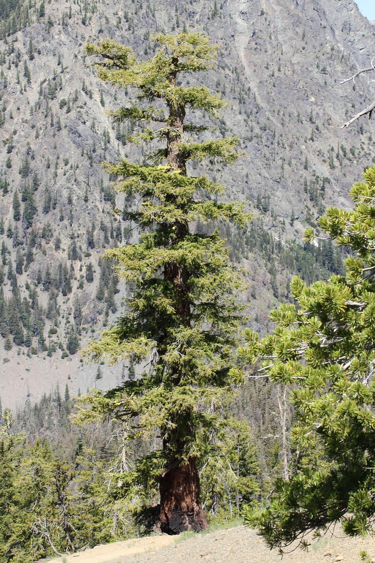 Douglas-firDouglas-fir · 1610 yd
 Viewing TowerHeritage attraction · 1.2 mi
 Avondale Housecountry house · 1.2 mi
 Meeting of the WatersHeritage attraction · 1.5 mi
 Wicklow 400Memorial · 2.3 mi
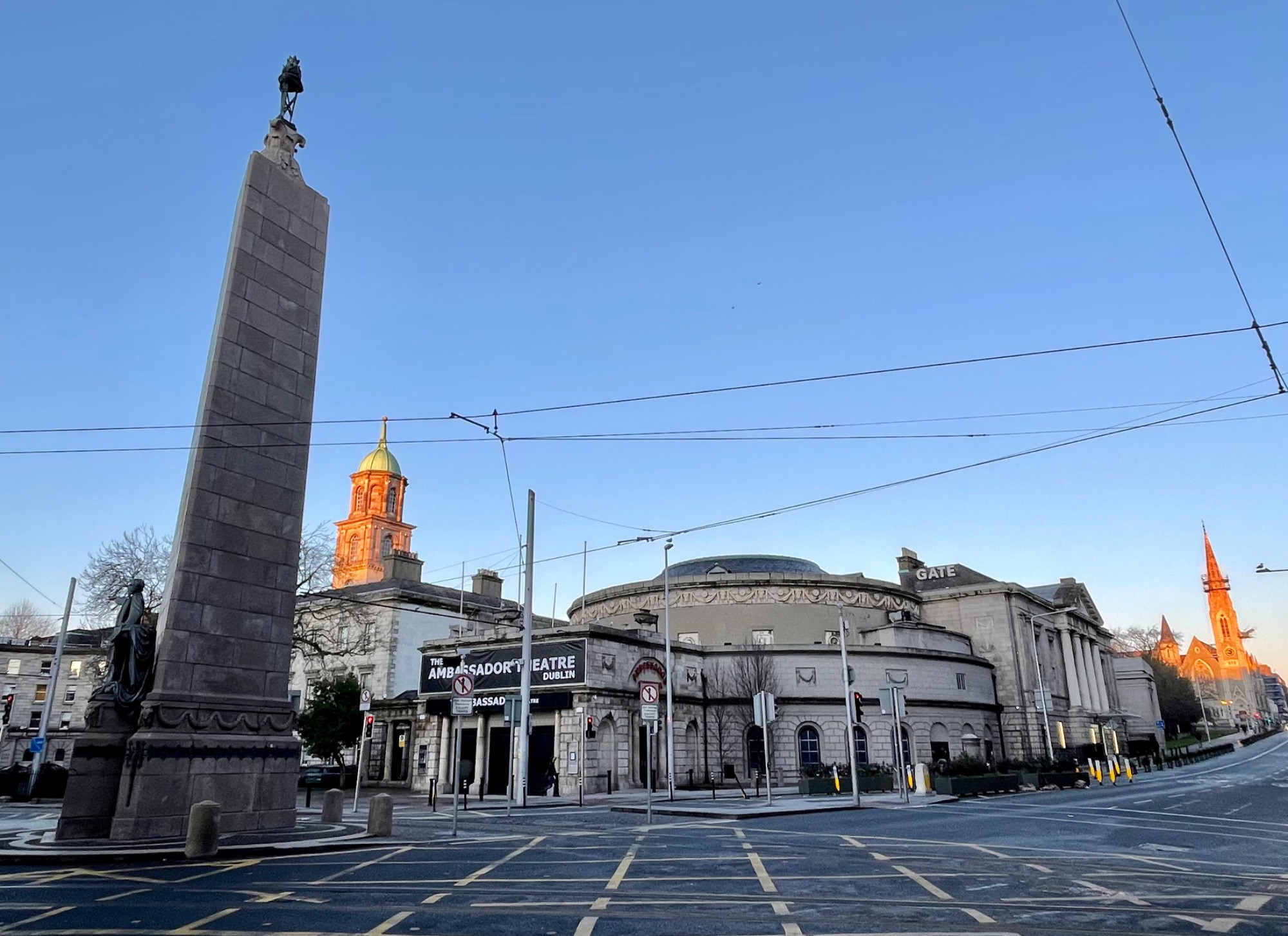 Parnell MonumentMemorial · 2.3 mi
 Site of CastleCastle, unclassified · 3.5 mi
 Castle in ruinsCastle, tower house · 3.6 mi