What is recorded here
Described in the Ordnance Survey letters as 'a broken Cahir on the top of Kilmacoo Hill' (O'Flanagan 1928, 131).
The above description is derived from the published 'Archaeological Inventory of County Wicklow' (Dublin: Stationery Office, 1997). In certain instances the entries have been revised and updated in the light of recent research.
Date of upload/revision: 17 December 2008
The monument record does not grant public access. Check the route and ask the landowner before entering private land.
- What survives
- Recorded monument
Places near here
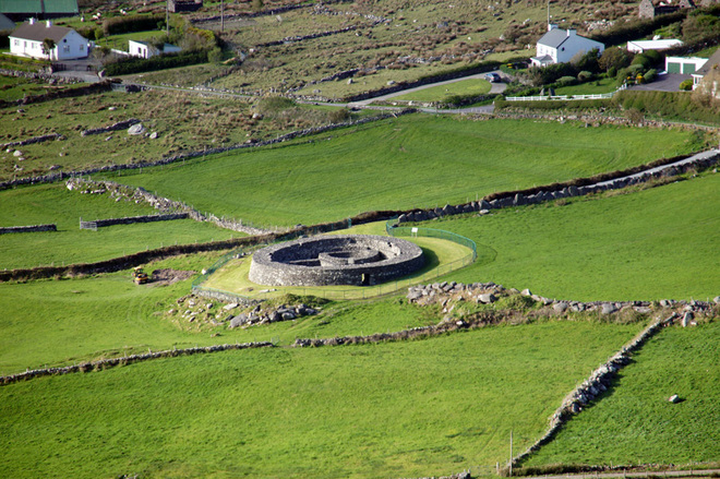 Fairy fort / earthen ringfort in KilmacooFairy fort / earthen ringfort · 430 yd
 IndicatedFairy fort / earthen ringfort · 968 yd
 Connary Smelting TowerRuins · 1062 yd
 Kilmacrea WoodWood · 1491 yd
 Silver FirSilver Fir · 1.4 mi
 Tigroney Engine HouseRuins · 1.7 mi
 Viewing TowerHeritage attraction · 1.9 mi
 Meeting of the WatersHeritage attraction · 2.0 mi
 Wicklow 400Memorial · 2.9 mi
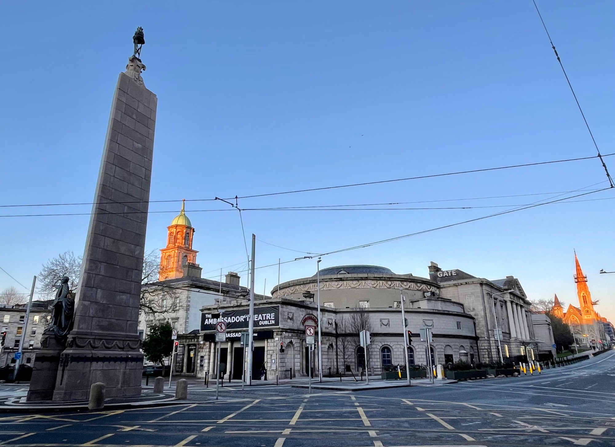 Parnell MonumentMemorial · 2.9 mi
 Site of CastleCastle, unclassified · 3.5 mi
 Castle in ruinsCastle, tower house · 4.0 mi