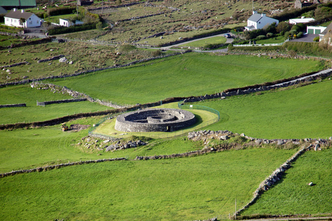
What is recorded here
Situated on a gentle SE-facing slope in unimproved mountain pasture. Circular area (diam. 24.3m; max. ext. diam. 29.3m) defined by an earthen bank (Wth 4.6-5m; int. H 0.8-1.2m; ext. H 0.7-1.2m). The interior is level and slopes gently from NW to SE. The only feature is a possible small spring in the centre. No trace of an entrance or fosse. Marked on the 1838 OS 6-inch map.
The above description is derived from the published 'Archaeological Inventory of County Wicklow' (Dublin: Stationery Office, 1997). In certain instances the entries have been revised and updated in the light of recent research.
Date of upload/revision: 17 December 2008
The monument record does not grant public access. Check the route and ask the landowner before entering private land.
- What survives
- Recorded monument
Places near here
 Connary Smelting TowerRuins · 856 yd
 IndicatedFairy fort / earthen ringfort · 907 yd
 Enclosure in Connary UpperEnclosure · 1613 yd
 Kilmacrea WoodWood · 1.0 mi
 Silver FirSilver Fir · 1.4 mi
 Tigroney Engine HouseRuins · 1.5 mi
 Meeting of the WatersHeritage attraction · 1.9 mi
 Viewing TowerHeritage attraction · 2.0 mi
 Wicklow 400Memorial · 3.1 mi
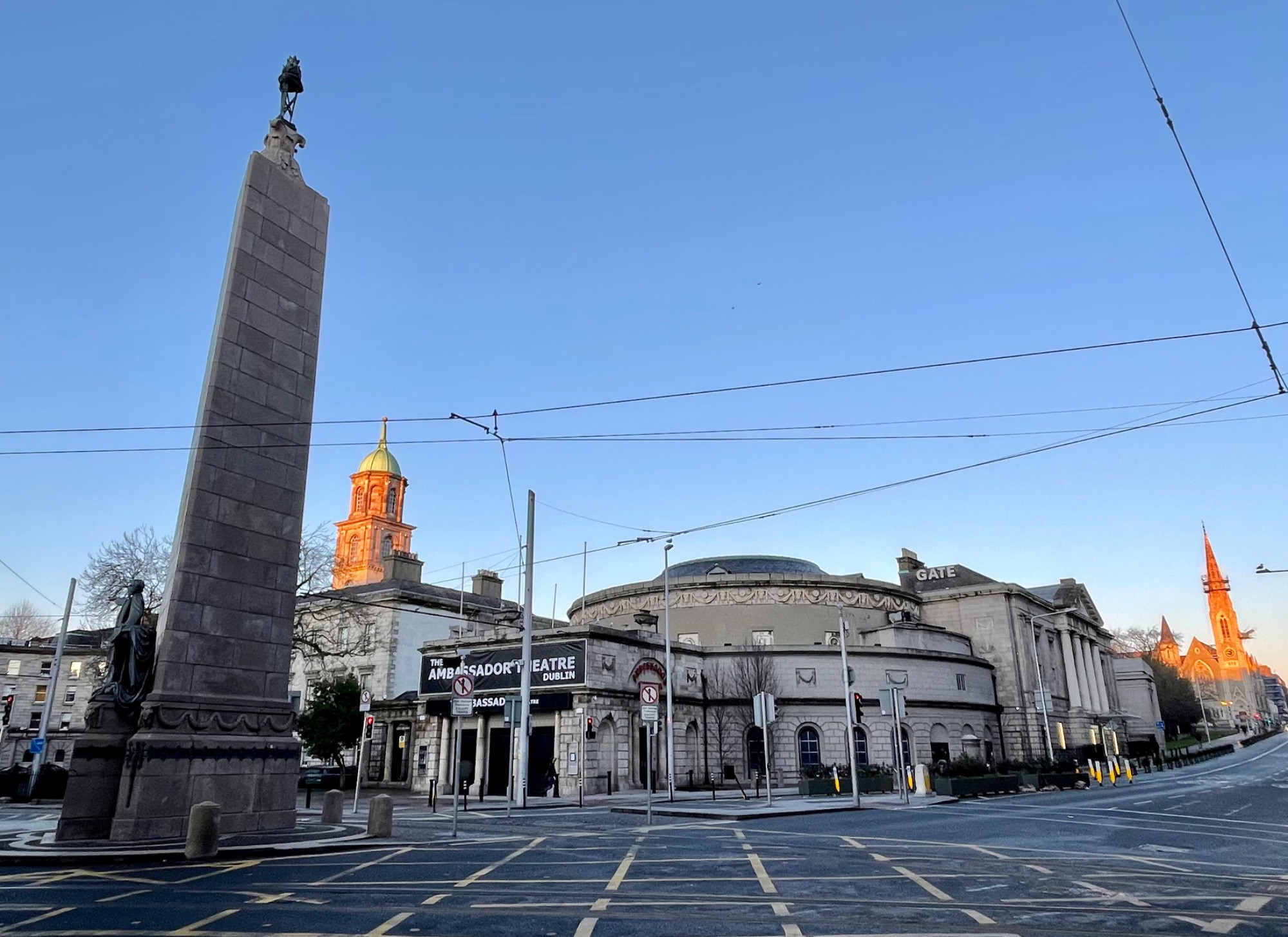 Parnell MonumentMemorial · 3.1 mi
 Site of CastleCastle, unclassified · 3.2 mi
 Castle in ruinsCastle, tower house · 4.2 mi
Other information
Photo: Credit not shown in the picture search · Rights wording not checked; contact us if this picture should be removed