What is recorded here
Situated on a very gentle E/N-facing slope. Circular site (diam. c. 30m) defined by an earth and stone bank (Wth 2.3m at S - 4.5m NE-E; H 0.5-1.1m). At the W the bank merges with a more substantial field bank. At the E the upper part of the bank has been removed while the whole bank has been demolished along a c. 10m long segment at the SW. There is no trace of a fosse. A 1.2m gap at NW may be a modern feature. The interior is level and striped with lazy beds.
Situated on a very gentle E/N-facing slope. Circular site (diam. c. 30m) defined by an earth and stone bank (Wth 2.3m at S - 4.5m NE-E; H 0.5-1.1m). At the W the bank merges with a more substantial field bank. At the E the upper part of the bank has been removed while the whole bank has been demolished along a c. 10m long segment at the SW. There is no trace of a fosse. A 1.2m gap at NW may be a modern feature.…
From the National Monuments Service (Archaeological Survey of Ireland) record WI035-008
This remains an important historical record, but the official description says the monument is no longer visible or has been destroyed. The monument record does not grant public access. Check the route and ask the landowner before entering private land.
- What survives
- No visible remains or recorded as destroyed
Places near here
Enclosure in Connary UpperEnclosure · 859 ydEnclosure in SroughmoreEnclosure · 895 yd Silver Fir1686 ydCastle HowardCountry house · 1.2 miDouglas-fir1.2 miCastle HowardGate lodge · 1.3 miViewing TowerHeritage attraction · 1.5 miMeeting of the WatersHeritage attraction · 1.5 miWicklow 400Memorial · 2.6 miParnell MonumentMemorial · 2.7 miSite of CastleCastle, unclassified · 3.3 miCastle in ruinsCastle, tower house · 3.9 mi
 Silver Fir1686 yd
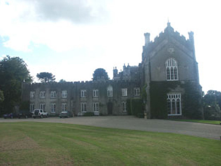 Castle HowardCountry house · 1.2 mi
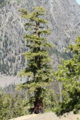 Douglas-fir1.2 mi
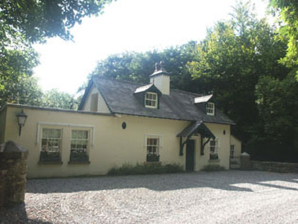 Castle HowardGate lodge · 1.3 mi
 Viewing TowerHeritage attraction · 1.5 miMeeting of the WatersHeritage attraction · 1.5 miWicklow 400Memorial · 2.6 miParnell MonumentMemorial · 2.7 miSite of CastleCastle, unclassified · 3.3 miCastle in ruinsCastle, tower house · 3.9 mi
Pictures: Steve & Jemma Copley on Flickr, Wikimedia Commons · CC BY-SA 2.0; National Inventory of Architectural Heritage; Walter Siegmund (talk), Wikimedia Commons · CC BY-SA 3.0; 瑞丽江的河水, Wikimedia Commons · CC BY-SA 4.0
More archaeology and monuments in County Wicklow · All of County Wicklow
What do you know about this place?