What is recorded here
Situated on a gentle SSE-facing slope at the head of a steep SSE-facing valley. Split shale-grit boulder (H 2.24m; Wth 1.14m; max. T 0.57m). Marked 'Large Stone' on the 1838 OS 6-inch map.
The above description is derived from the published 'Archaeological Inventory of County Wicklow' (Dublin: Stationery Office, 1997). In certain instances the entries have been revised and updated in the light of recent research.
Date of upload/revision: 17 December 2008
Likely dating to the Neolithic or Early Bronze Age, this standing stone may have served a ritual or territorial function. No specific folklore or detailed use is recorded for the site.
The monument record does not grant public access. Check the route and ask the landowner before entering private land.
- What survives
- Recorded monument
Places near here
 IndicatedEnclosure · 1002 yd
 Silver FirSilver Fir · 1222 yd
 Avondale WoodWood · 1258 yd
 Viewing TowerHeritage attraction · 1317 yd
 Avondale Housecountry house · 1517 yd
 Virgins WellHoly well · 1.0 mi
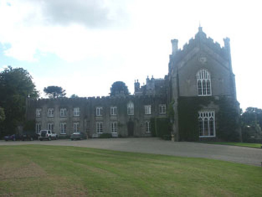 Castle Howardcountry house · 1.1 mi
 Meeting of the WatersHeritage attraction · 1.2 mi
 Wicklow 400Memorial · 1.9 mi
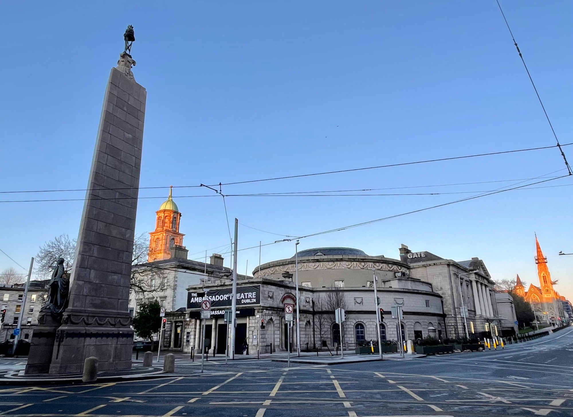 Parnell MonumentMemorial · 1.9 mi
 Castle in ruinsCastle, tower house · 3.5 mi
 Site of CastleCastle, unclassified · 3.6 mi