What is recorded here
On a gentle SE facing slope in pasture. Marked 'Flat Stone' on the 1838 OS 6-inch map (see WI035-004001- for original location). Present location unknown.
Compiled by: Claire Breen
Date of upload: 20 August 2013
The monument record does not grant public access. Check the route and ask the landowner before entering private land.
- What survives
- Recorded monument
Places near here
 IndicatedEnclosure · 848 yd
 Silver FirSilver Fir · 945 yd
 Avondale WoodWood · 1053 yd
 Viewing TowerHeritage attraction · 1167 yd
 Avondale Housecountry house · 1359 yd
 Enclosure in SroughmoreEnclosure · 1520 yd
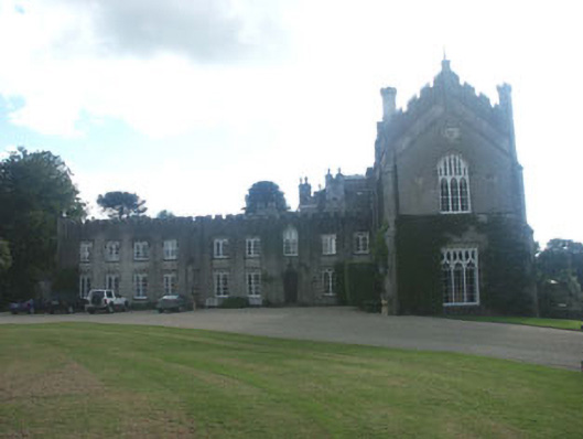 Castle Howardcountry house · 1.1 mi
 Meeting of the WatersHeritage attraction · 1.2 mi
 Wicklow 400Memorial · 1.9 mi
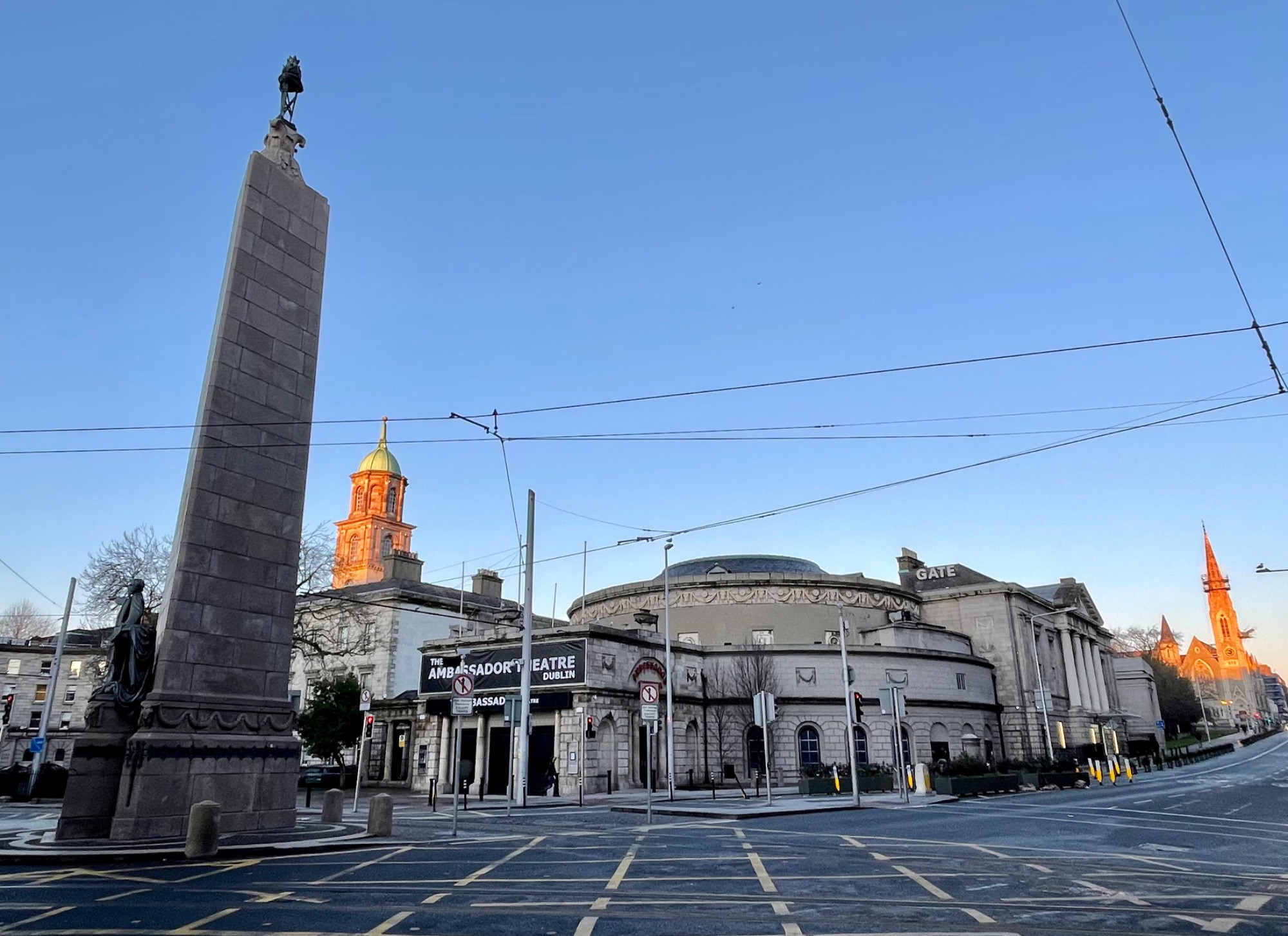 Parnell MonumentMemorial · 1.9 mi
 Castle in ruinsCastle, tower house · 3.4 mi
 Site of CastleCastle, unclassified · 3.6 mi