What is recorded here
Situated at the foot of a marked E-facing slope. Marked 'Site of Church, Graveyard' on the 1838 OS 6-inch map. All that survives of the church is a granite sill (possibly from a window) and part of a bevelled window arch. There are no early features visible in the graveyard (dims. c. 45m x 25m) apart from a bullaun (dims. 0.4m x 0.35m x 0.35m), and there is no trace of the graveslab mentioned in the OS Letters (O'Flanagan 1928, 130). The landowner says there are several more bullauns on this site but no others were located. The site is in very poor condition and is visible as a roughly rectangular area 0.5m higher than the surrounding ground, strewn with field boulders and tree stumps.
The above description is derived from the published 'Archaeological Inventory of County Wicklow' (Dublin: Stationery Office, 1997). In certain instances the entries have been revised and updated in the light of recent research.
Date of upload/revision: 21 August 2013
This monument is subject to a preservation order made under the National Monuments Acts 1930 to 2014 (PO no. 132/1940).
This remains an important historical record, but the official description says the monument is no longer visible or has been destroyed. The monument record does not grant public access. Check the route and ask the landowner before entering private land.
- What survives
- No visible remains or recorded as destroyed
Places near here
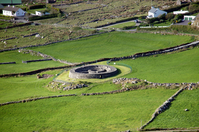 Fairy fort / earthen ringfort in KilmacooFairy fort / earthen ringfort · 575 yd
 Connary Smelting TowerRuins · 1430 yd
 IndicatedFairy fort / earthen ringfort · 1465 yd
 Kilmacrea WoodWood · 1508 yd
 Grave YardChurch · 1.5 mi
 Silver FirSilver Fir · 1.7 mi
 Meeting of the WatersHeritage attraction · 2.2 mi
 Viewing TowerHeritage attraction · 2.2 mi
 Wicklow 400Memorial · 3.3 mi
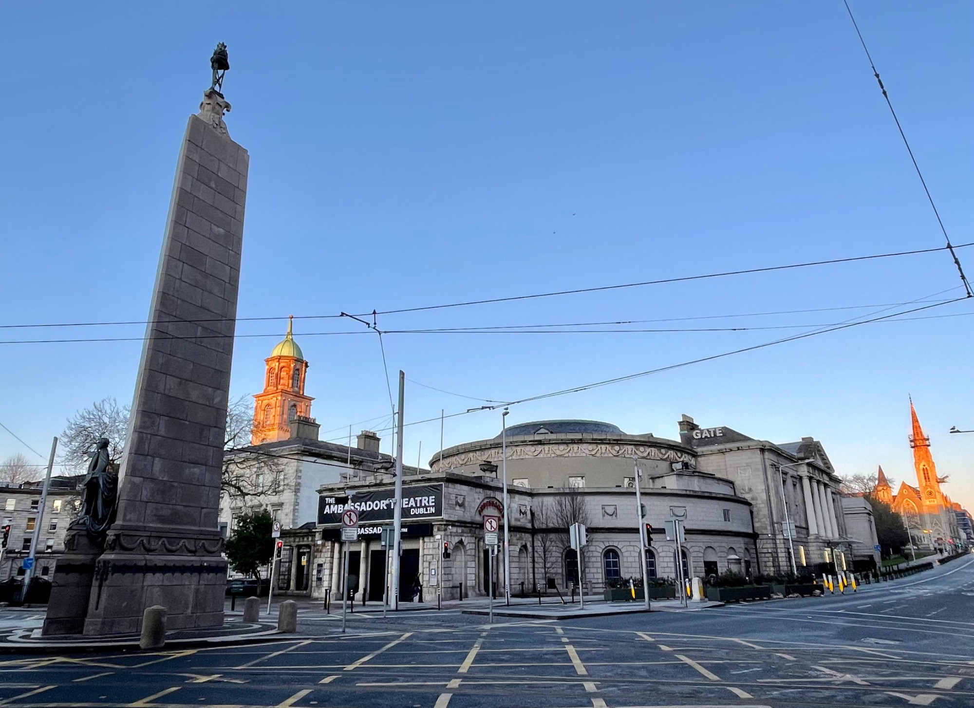 Parnell MonumentMemorial · 3.3 mi
 Site of CastleCastle, unclassified · 3.3 mi
 Castle in ruinsCastle, tower house · 4.4 mi